Elstertalbrücke
- 56.6 km
- 521 m
- 521 m
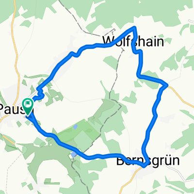
- Pausa, Saxony, Germany
A cycling route starting in Pausa, Saxony, Germany.
Overview
Beautiful MTB tour with root carpets and technical sections in places. Especially the part to and around the dam is very nice.
created this 11 years ago
Continue with Bikemap
You would like to ride Weidatalweg -Talsperrenrundweg und zurück or customize it for your own trip? Here is what you can do with this Bikemap route:
Free trial for 3 days, or one-time payment. More about Bikemap Premium.
Discover more Premium features.
Get Bikemap PremiumFrom our community
Open it in the app