

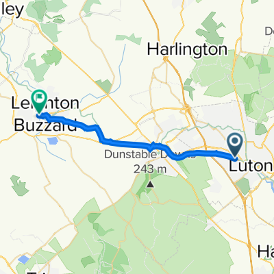
Luton - Harpenden - ST Albans - Redbourn - Markyate - Caddington - Luton
A cycling route starting in Luton, England, United Kingdom.
Overview
About this route
Amazing route trough english towns and villages
- -:--
- Duration
- 43.5 km
- Distance
- 263 m
- Ascent
- 264 m
- Descent
- ---
- Avg. speed
- ---
- Max. altitude
Route quality
Waytypes & surfaces along the route
Waytypes
Cycleway
12.6 km
(29 %)
Road
8.7 km
(20 %)
Surfaces
Paved
28.3 km
(65 %)
Unpaved
1.3 km
(3 %)
Asphalt
27.9 km
(64 %)
Ground
1.3 km
(3 %)
Continue with Bikemap
Use, edit, or download this cycling route
You would like to ride Luton - Harpenden - ST Albans - Redbourn - Markyate - Caddington - Luton or customize it for your own trip? Here is what you can do with this Bikemap route:
Free features
- Save this route as favorite or in collections
- Copy & plan your own version of this route
- Sync your route with Garmin or Wahoo
Premium features
Free trial for 3 days, or one-time payment. More about Bikemap Premium.
- Navigate this route on iOS & Android
- Export a GPX / KML file of this route
- Create your custom printout (try it for free)
- Download this route for offline navigation
Discover more Premium features.
Get Bikemap PremiumFrom our community
Other popular routes starting in Luton
 Lengthy ride through Luton
- Distance
- 41.5 km
- Ascent
- 237 m
- Descent
- 246 m
- Location
- Luton, England, United Kingdom
 Luton to Regent's Park, London
- Distance
- 52.2 km
- Ascent
- 208 m
- Descent
- 312 m
- Location
- Luton, England, United Kingdom
 Busway to Grand Union Canal
- Distance
- 18.3 km
- Ascent
- 71 m
- Descent
- 103 m
- Location
- Luton, England, United Kingdom
 Dudley Street 17 to Old Bedford Road 34
- Distance
- 20.5 km
- Ascent
- 60 m
- Descent
- 60 m
- Location
- Luton, England, United Kingdom
 Ozora Route 1 - Cycle2Change
- Distance
- 5,086.6 km
- Ascent
- 2,784 m
- Descent
- 2,784 m
- Location
- Luton, England, United Kingdom
 Stage 2 - LUT to HEA
- Distance
- 60.2 km
- Ascent
- 303 m
- Descent
- 394 m
- Location
- Luton, England, United Kingdom
 commute to hitchin
- Distance
- 17.8 km
- Ascent
- 182 m
- Descent
- 236 m
- Location
- Luton, England, United Kingdom
 Luton - Harpenden - ST Albans - Redbourn - Markyate - Caddington - Luton
- Distance
- 43.5 km
- Ascent
- 263 m
- Descent
- 264 m
- Location
- Luton, England, United Kingdom
Open it in the app