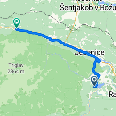
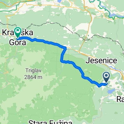
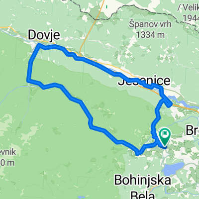
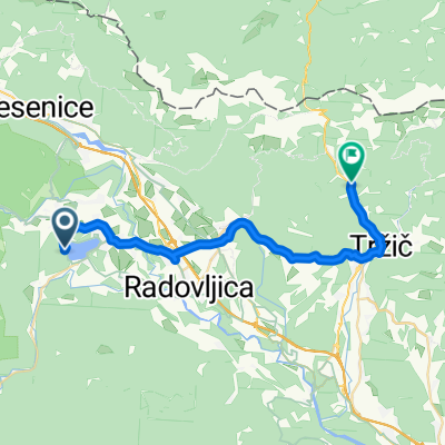
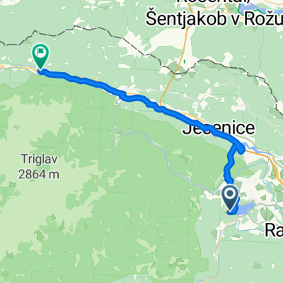
Bled - Vintgar
A cycling route starting in Zgornje Gorje, Municipality of Gorje, Slovenia.
Overview
About this route
k
- -:--
- Duration
- 11.6 km
- Distance
- 222 m
- Ascent
- 221 m
- Descent
- ---
- Avg. speed
- ---
- Avg. speed
Route quality
Waytypes & surfaces along the route
Waytypes
Quiet road
6.3 km
(54 %)
Road
2.3 km
(20 %)
Surfaces
Paved
10.1 km
(87 %)
Unpaved
0.2 km
(2 %)
Asphalt
9.2 km
(79 %)
Paved (undefined)
0.9 km
(8 %)
Route highlights
Points of interest along the route
Point of interest after 4.5 km
Vintgar
Point of interest after 8.1 km
Gostilna Planinc
Point of interest after 8.4 km
Gostilna Peglezn
Point of interest after 8.4 km
Boat
Point of interest after 8.4 km
Cream cake
Point of interest after 8.4 km
Boat
Point of interest after 8.5 km
Gostilna Vila Prešeren
Continue with Bikemap
Use, edit, or download this cycling route
You would like to ride Bled - Vintgar or customize it for your own trip? Here is what you can do with this Bikemap route:
Free features
- Save this route as favorite or in collections
- Copy & plan your own version of this route
- Sync your route with Garmin or Wahoo
Premium features
Free trial for 3 days, or one-time payment. More about Bikemap Premium.
- Navigate this route on iOS & Android
- Export a GPX / KML file of this route
- Create your custom printout (try it for free)
- Download this route for offline navigation
Discover more Premium features.
Get Bikemap PremiumFrom our community
Other popular routes starting in Zgornje Gorje
- Szlovéniai élménykör
- Distance
- 228 km
- Ascent
- 1,968 m
- Descent
- 1,980 m
- Location
- Zgornje Gorje, Municipality of Gorje, Slovenia
- Hidden waterfalls
- Distance
- 46 km
- Ascent
- 454 m
- Descent
- 453 m
- Location
- Zgornje Gorje, Municipality of Gorje, Slovenia
- Makadam ska ska Mežakla MTB
- Distance
- 33.7 km
- Ascent
- 1,451 m
- Descent
- 1,452 m
- Location
- Zgornje Gorje, Municipality of Gorje, Slovenia
- Bled - Bohinj - Pokljuka
- Distance
- 63.5 km
- Ascent
- 915 m
- Descent
- 915 m
- Location
- Zgornje Gorje, Municipality of Gorje, Slovenia
- Pot po dolini Radovne
- Distance
- 38.9 km
- Ascent
- 460 m
- Descent
- 460 m
- Location
- Zgornje Gorje, Municipality of Gorje, Slovenia
- Bosques de Bled
- Distance
- 14.3 km
- Ascent
- 583 m
- Descent
- 599 m
- Location
- Zgornje Gorje, Municipality of Gorje, Slovenia
- Bled - Vintgar
- Distance
- 11.6 km
- Ascent
- 222 m
- Descent
- 221 m
- Location
- Zgornje Gorje, Municipality of Gorje, Slovenia
- Bled-Rovte-Britof-Podnart-Bled
- Distance
- 76.3 km
- Ascent
- 663 m
- Descent
- 665 m
- Location
- Zgornje Gorje, Municipality of Gorje, Slovenia
Open it in the app