

velika mikleus
A cycling route starting in Velika, Požega-Slavonia County, Croatia.
Overview
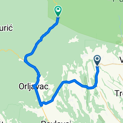
About this route
- -:--
- Duration
- 61.8 km
- Distance
- 563 m
- Ascent
- 676 m
- Descent
- ---
- Avg. speed
- ---
- Max. altitude

Continue with Bikemap
Use, edit, or download this cycling route
You would like to ride velika mikleus or customize it for your own trip? Here is what you can do with this Bikemap route:
Free features
- Save this route as favorite or in collections
- Copy & plan your own version of this route
- Sync your route with Garmin or Wahoo
Premium features
Free trial for 3 days, or one-time payment. More about Bikemap Premium.
- Navigate this route on iOS & Android
- Export a GPX / KML file of this route
- Create your custom printout (try it for free)
- Download this route for offline navigation
Discover more Premium features.
Get Bikemap PremiumFrom our community
Other popular routes starting in Velika
 Jankovec - Papuk
- Distance
- 11 km
- Ascent
- 626 m
- Descent
- 161 m
- Location
- Velika, Požega-Slavonia County, Croatia
 Preko vrha Papuka
- Distance
- 63.6 km
- Ascent
- 1,123 m
- Descent
- 1,120 m
- Location
- Velika, Požega-Slavonia County, Croatia
 3. Obroncima Papuka
- Distance
- 68.2 km
- Ascent
- 570 m
- Descent
- 546 m
- Location
- Velika, Požega-Slavonia County, Croatia
 5. Papučka Stotka
- Distance
- 93.8 km
- Ascent
- 1,129 m
- Descent
- 1,130 m
- Location
- Velika, Požega-Slavonia County, Croatia
 velika-jankovac-velika
- Distance
- 35 km
- Ascent
- 877 m
- Descent
- 885 m
- Location
- Velika, Požega-Slavonia County, Croatia
 Drenovac-Vocin
- Distance
- 67.6 km
- Ascent
- 903 m
- Descent
- 902 m
- Location
- Velika, Požega-Slavonia County, Croatia
 17. Velika - Jezerce - Jankovac
- Distance
- 23.9 km
- Ascent
- 696 m
- Descent
- 692 m
- Location
- Velika, Požega-Slavonia County, Croatia
 Papuk körtúra
- Distance
- 81.2 km
- Ascent
- 1,187 m
- Descent
- 1,184 m
- Location
- Velika, Požega-Slavonia County, Croatia
Open it in the app