Fichtelbergrunde
A cycling route starting in Markersbach, Saxony, Germany.
Overview
About this route
Fichtelberg loop of the Ore Mountains cycling race in Markersbach
- -:--
- Duration
- 46.9 km
- Distance
- 1,024 m
- Ascent
- 1,035 m
- Descent
- ---
- Avg. speed
- ---
- Max. altitude
Route quality
Waytypes & surfaces along the route
Waytypes
Track
39.4 km
(84 %)
Quiet road
3.3 km
(7 %)
Surfaces
Paved
28.1 km
(60 %)
Unpaved
15.9 km
(34 %)
Asphalt
18.7 km
(40 %)
Gravel
9.8 km
(21 %)
Continue with Bikemap
Use, edit, or download this cycling route
You would like to ride Fichtelbergrunde or customize it for your own trip? Here is what you can do with this Bikemap route:
Free features
- Save this route as favorite or in collections
- Copy & plan your own version of this route
- Sync your route with Garmin or Wahoo
Premium features
Free trial for 3 days, or one-time payment. More about Bikemap Premium.
- Navigate this route on iOS & Android
- Export a GPX / KML file of this route
- Create your custom printout (try it for free)
- Download this route for offline navigation
Discover more Premium features.
Get Bikemap PremiumFrom our community
Other popular routes starting in Markersbach
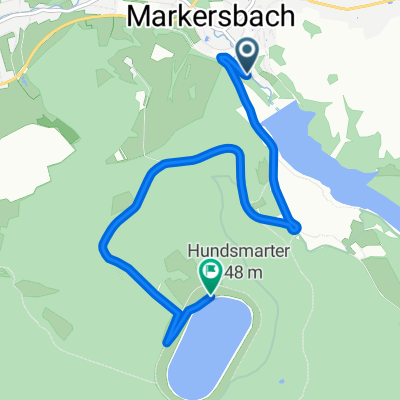
- 2.Bergzeitfahren Markersbach / 15.08.2014
- Distance
- 5.2 km
- Ascent
- 362 m
- Descent
- 47 m
- Location
- Markersbach, Saxony, Germany
- ERZGEBIRGSTOUR 2016 / ETAPPE 4
- Distance
- 57 km
- Ascent
- 930 m
- Descent
- 963 m
- Location
- Markersbach, Saxony, Germany
- Pumpspeicherkraftwerk Markersbach zum Fichtelberg und zurück
- Distance
- 32.8 km
- Ascent
- 454 m
- Descent
- 454 m
- Location
- Markersbach, Saxony, Germany
- Oma-Tiefeinsteiger Tour mit 7ner Nabenschaltung
- Distance
- 46 km
- Ascent
- 1,066 m
- Descent
- 1,085 m
- Location
- Markersbach, Saxony, Germany
- Fichtelbergrunde
- Distance
- 46.9 km
- Ascent
- 1,024 m
- Descent
- 1,035 m
- Location
- Markersbach, Saxony, Germany
- E2 - Markersbach - 3x Taufichtig und Ziel am Parkplatz Oberbecken Markersbach
- Distance
- 89.6 km
- Ascent
- 1,554 m
- Descent
- 1,368 m
- Location
- Markersbach, Saxony, Germany
- ERZ-Tour 2016 - Markersbach I - Fichtelforest (Kontrolle notwendig wegen Asphalt!)
- Distance
- 39.5 km
- Ascent
- 800 m
- Descent
- 606 m
- Location
- Markersbach, Saxony, Germany
- Erkundung Oberes Erzgebirge
- Distance
- 81.5 km
- Ascent
- 904 m
- Descent
- 1,156 m
- Location
- Markersbach, Saxony, Germany
Open it in the app