

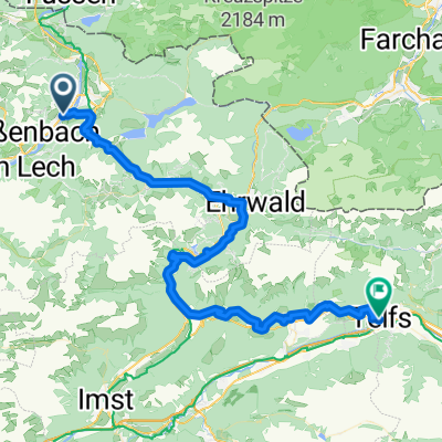
Höfen
A cycling route starting in Höfen, Tyrol, Austria.
Overview
About this route
19.10.2014
- -:--
- Duration
- 79.3 km
- Distance
- 517 m
- Ascent
- 516 m
- Descent
- ---
- Avg. speed
- ---
- Max. altitude
Route quality
Waytypes & surfaces along the route
Waytypes
Road
23 km
(29 %)
Track
9.5 km
(12 %)
Surfaces
Paved
70.5 km
(89 %)
Unpaved
0.8 km
(1 %)
Asphalt
69 km
(87 %)
Paved (undefined)
1.6 km
(2 %)
Continue with Bikemap
Use, edit, or download this cycling route
You would like to ride Höfen or customize it for your own trip? Here is what you can do with this Bikemap route:
Free features
- Save this route as favorite or in collections
- Copy & plan your own version of this route
- Sync your route with Garmin or Wahoo
Premium features
Free trial for 3 days, or one-time payment. More about Bikemap Premium.
- Navigate this route on iOS & Android
- Export a GPX / KML file of this route
- Create your custom printout (try it for free)
- Download this route for offline navigation
Discover more Premium features.
Get Bikemap PremiumFrom our community
Other popular routes starting in Höfen
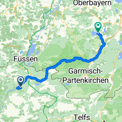
 Lechtal Reutte
- Distance
- 47.4 km
- Ascent
- 304 m
- Descent
- 43 m
- Location
- Höfen, Tyrol, Austria
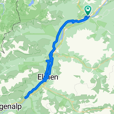
 Lechaschau - Zirl
- Distance
- 67 km
- Ascent
- 1,606 m
- Descent
- 1,841 m
- Location
- Höfen, Tyrol, Austria
 Rund um die Allgäuer Alpen
- Distance
- 182.5 km
- Ascent
- 3,790 m
- Descent
- 3,672 m
- Location
- Höfen, Tyrol, Austria
 Von Ehenbichl bis Seehausen am Staffelsee
- Distance
- 77.2 km
- Ascent
- 1,101 m
- Descent
- 1,339 m
- Location
- Höfen, Tyrol, Austria
 Lechtal
- Distance
- 165.2 km
- Ascent
- 2,427 m
- Descent
- 2,427 m
- Location
- Höfen, Tyrol, Austria
 Der Lechradweg - Etappe 5 von Weißenbach nach Steeg: Wilder Lech, imposante Berge und traditionelle Kunst
- Distance
- 47.9 km
- Ascent
- 315 m
- Descent
- 79 m
- Location
- Höfen, Tyrol, Austria
 Rund um den Thaneller
- Distance
- 39.4 km
- Ascent
- 624 m
- Descent
- 624 m
- Location
- Höfen, Tyrol, Austria
 Weißenberg am Lech Rundtour
- Distance
- 48 km
- Ascent
- 507 m
- Descent
- 506 m
- Location
- Höfen, Tyrol, Austria
Open it in the app