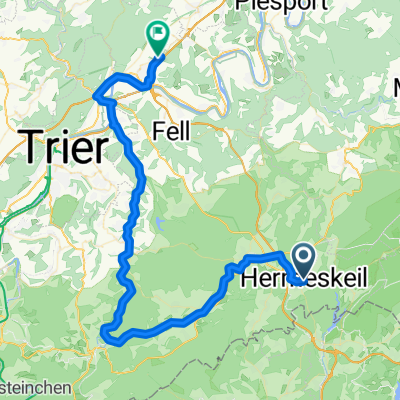
Hunsruck
A cycling route starting in Hermeskeil, Rhineland-Palatinate, Germany.
Overview
About this route
3 oktober 2014
Schitterend Weer, Zo Mooi- -:--
- Duration
- 81.1 km
- Distance
- 772 m
- Ascent
- 1,080 m
- Descent
- ---
- Avg. speed
- ---
- Max. altitude
Route quality
Waytypes & surfaces along the route
Waytypes
Busy road
31.6 km
(39 %)
Road
22.8 km
(28 %)
Surfaces
Paved
71.5 km
(88 %)
Unpaved
1.3 km
(2 %)
Asphalt
64.2 km
(79 %)
Paved (undefined)
6.4 km
(8 %)
Route highlights
Points of interest along the route
Point of interest after 18.8 km
816 m ERBESKOPF hoogste punt Rheiland-Eifel-Saarland Lange beklimming naar top
Continue with Bikemap
Use, edit, or download this cycling route
You would like to ride Hunsruck or customize it for your own trip? Here is what you can do with this Bikemap route:
Free features
- Save this route as favorite or in collections
- Copy & plan your own version of this route
- Split it into stages to create a multi-day tour
- Sync your route with Garmin or Wahoo
Premium features
Free trial for 3 days, or one-time payment. More about Bikemap Premium.
- Navigate this route on iOS & Android
- Export a GPX / KML file of this route
- Create your custom printout (try it for free)
- Download this route for offline navigation
Discover more Premium features.
Get Bikemap PremiumFrom our community
Other popular routes starting in Hermeskeil
- Sonntagmorgentour bei herrlichem Wetter
- Distance
- 58.4 km
- Ascent
- 1,304 m
- Descent
- 1,307 m
- Location
- Hermeskeil, Rhineland-Palatinate, Germany
- Hunsruck
- Distance
- 81.1 km
- Ascent
- 772 m
- Descent
- 1,080 m
- Location
- Hermeskeil, Rhineland-Palatinate, Germany
- Hunsrück-Querung
- Distance
- 94.3 km
- Ascent
- 766 m
- Descent
- 909 m
- Location
- Hermeskeil, Rhineland-Palatinate, Germany
- NAHETAL Radweg
- Distance
- 181.2 km
- Ascent
- 352 m
- Descent
- 777 m
- Location
- Hermeskeil, Rhineland-Palatinate, Germany
- Ruwer-Radweg-3
- Distance
- 47.8 km
- Ascent
- 89 m
- Descent
- 434 m
- Location
- Hermeskeil, Rhineland-Palatinate, Germany
- 0620Di: Hermeskeil-Trier
- Distance
- 57 km
- Ascent
- 139 m
- Descent
- 530 m
- Location
- Hermeskeil, Rhineland-Palatinate, Germany
- Mit der Apple Watch um 25. März, 11:47 aufgenommen
- Distance
- 32.3 km
- Ascent
- 1,046 m
- Descent
- 1,062 m
- Location
- Hermeskeil, Rhineland-Palatinate, Germany
- Hermeskeil - Stausee Nonnweiler 03.07.20
- Distance
- 33 km
- Ascent
- 413 m
- Descent
- 403 m
- Location
- Hermeskeil, Rhineland-Palatinate, Germany
Open it in the app