

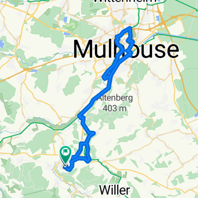
Ziua a 9-a: Altkirch - Huningue - Basel
A cycling route starting in Altkirch, Grand Est, France.
Overview
About this route
Camping Les Acacias Altkirch - Camping Au Petit Port Huningue (Basel)
- -:--
- Duration
- 55.4 km
- Distance
- 43 m
- Ascent
- 148 m
- Descent
- ---
- Avg. speed
- ---
- Max. altitude

Route quality
Waytypes & surfaces along the route
Waytypes
Cycleway
24.4 km
(44 %)
Path
13.3 km
(24 %)
Surfaces
Paved
37.6 km
(68 %)
Unpaved
12.7 km
(23 %)
Asphalt
36.5 km
(66 %)
Gravel
7.7 km
(14 %)
Continue with Bikemap
Use, edit, or download this cycling route
You would like to ride Ziua a 9-a: Altkirch - Huningue - Basel or customize it for your own trip? Here is what you can do with this Bikemap route:
Free features
- Save this route as favorite or in collections
- Copy & plan your own version of this route
- Sync your route with Garmin or Wahoo
Premium features
Free trial for 3 days, or one-time payment. More about Bikemap Premium.
- Navigate this route on iOS & Android
- Export a GPX / KML file of this route
- Create your custom printout (try it for free)
- Download this route for offline navigation
Discover more Premium features.
Get Bikemap PremiumFrom our community
Other popular routes starting in Altkirch
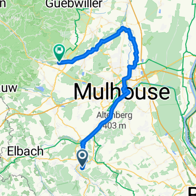 Altkirch - Cernay
- Distance
- 57.3 km
- Ascent
- 170 m
- Descent
- 220 m
- Location
- Altkirch, Grand Est, France
 Dannemarie - Clerval
- Distance
- 69.5 km
- Ascent
- 379 m
- Descent
- 441 m
- Location
- Altkirch, Grand Est, France
 Tag 2 - Elsass
- Distance
- 131.9 km
- Ascent
- 1,670 m
- Descent
- 1,542 m
- Location
- Altkirch, Grand Est, France
 vauthiermont, dieffmatten,
- Distance
- 46.7 km
- Ascent
- 283 m
- Descent
- 357 m
- Location
- Altkirch, Grand Est, France
 dimanche avant boulot
- Distance
- 15 km
- Ascent
- 252 m
- Descent
- 249 m
- Location
- Altkirch, Grand Est, France
 Altkirch_Mulhouse_57km
- Distance
- 57.2 km
- Ascent
- 369 m
- Descent
- 387 m
- Location
- Altkirch, Grand Est, France
 Ziua a 9-a: Altkirch - Huningue - Basel
- Distance
- 55.4 km
- Ascent
- 43 m
- Descent
- 148 m
- Location
- Altkirch, Grand Est, France
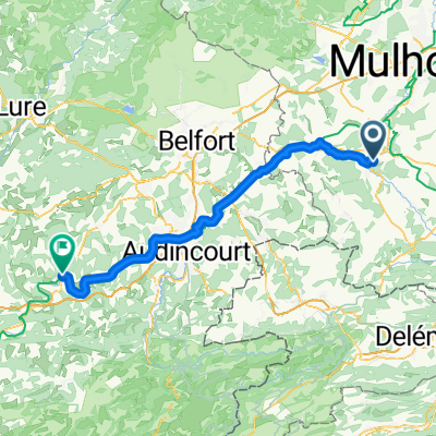
 Route nach Besançon
- Distance
- 141.9 km
- Ascent
- 1,150 m
- Descent
- 1,191 m
- Location
- Altkirch, Grand Est, France
Open it in the app