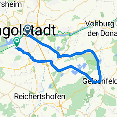
Nachmittagstour - Ingolstadt - Geisenfeld - Ingolstadt
- 37.7 km
- 41 m
- 41 m
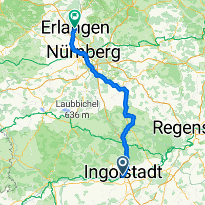
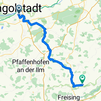
- Ingolstadt, Bavaria, Germany
A cycling route starting in Ingolstadt, Bavaria, Germany.
Overview
80km Runde.<br />Anstiege nach Buxheim und Hütting. <br />welliger gegen Ende.
created this 17 years ago
Route quality
Road
22.7 km
(29 %)
Quiet road
13.3 km
(17 %)
Paved
67.4 km
(86 %)
Asphalt
67.4 km
(86 %)
Undefined
11 km
(14 %)
Continue with Bikemap
You would like to ride Ingolstadt-Dollnstein-Konstein or customize it for your own trip? Here is what you can do with this Bikemap route:
Free trial for 3 days, or one-time payment. More about Bikemap Premium.
Discover more Premium features.
Get Bikemap PremiumFrom our community
Open it in the app