

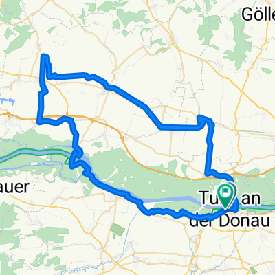
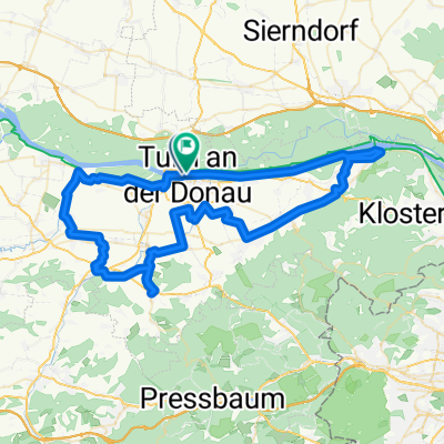
MTB Schotter, Weg und Asphalt
A cycling route starting in Tulln, Lower Austria, Austria.
Overview
About this route
Erst über Asphalt bis zum Wilfersdorf, dann über teilweise gatschigen Wanderwege bis Gablitz und dann auf schönen Schotter- und Feldwegen nach Michelhausen
- -:--
- Duration
- 46.5 km
- Distance
- 887 m
- Ascent
- 834 m
- Descent
- ---
- Avg. speed
- 516 m
- Max. altitude

Route quality
Waytypes & surfaces along the route
Waytypes
Track
16.7 km
(36 %)
Road
12.6 km
(27 %)
Surfaces
Paved
10.2 km
(22 %)
Unpaved
16.3 km
(35 %)
Gravel
10.7 km
(23 %)
Asphalt
8.4 km
(18 %)
Continue with Bikemap
Use, edit, or download this cycling route
You would like to ride MTB Schotter, Weg und Asphalt or customize it for your own trip? Here is what you can do with this Bikemap route:
Free features
- Save this route as favorite or in collections
- Copy & plan your own version of this route
- Sync your route with Garmin or Wahoo
Premium features
Free trial for 3 days, or one-time payment. More about Bikemap Premium.
- Navigate this route on iOS & Android
- Export a GPX / KML file of this route
- Create your custom printout (try it for free)
- Download this route for offline navigation
Discover more Premium features.
Get Bikemap PremiumFrom our community
Other popular routes starting in Tulln
 GARTENRADTOUR- Sonnenblumentour
- Distance
- 67.3 km
- Ascent
- 236 m
- Descent
- 237 m
- Location
- Tulln, Lower Austria, Austria
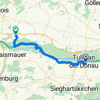 Von Tulln nach Grafenwörth
- Distance
- 33.9 km
- Ascent
- 88 m
- Descent
- 77 m
- Location
- Tulln, Lower Austria, Austria
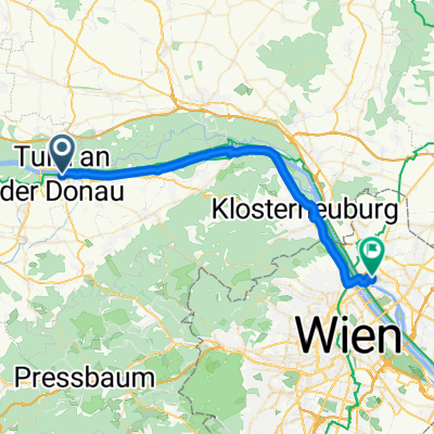 Tulln nach Wien Floridsdorf
- Distance
- 35.6 km
- Ascent
- 165 m
- Descent
- 184 m
- Location
- Tulln, Lower Austria, Austria
 Tulln - Zeillern
- Distance
- 123.3 km
- Ascent
- 1,118 m
- Descent
- 1,067 m
- Location
- Tulln, Lower Austria, Austria
 GARTENRADTOUR- Rosentour kürzer
- Distance
- 76 km
- Ascent
- 183 m
- Descent
- 180 m
- Location
- Tulln, Lower Austria, Austria
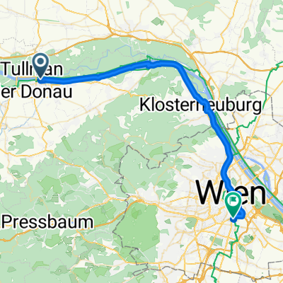
 Von Tulln an der Donau bis Wien
- Distance
- 27.1 km
- Ascent
- 293 m
- Descent
- 265 m
- Location
- Tulln, Lower Austria, Austria
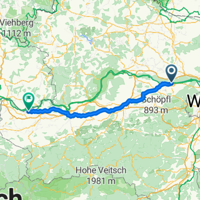
 Passau - Wien mit Schlafsack und Zelt
- Distance
- 336.8 km
- Ascent
- 460 m
- Descent
- 350 m
- Location
- Tulln, Lower Austria, Austria
 Tulln - Schwechat
- Distance
- 40.9 km
- Ascent
- 223 m
- Descent
- 203 m
- Location
- Tulln, Lower Austria, Austria
Open it in the app