

J-Brandt 1997_01_Affoltern-Rosenlaui (118km, 2440 Hm)
A cycling route starting in Affoltern / Sonnenberg, Canton of Zurich, Switzerland.
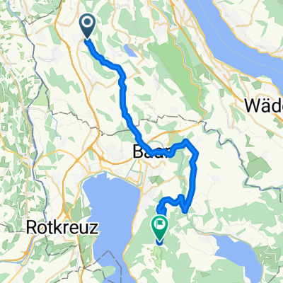
Overview
About this route
118 km, 2440 Hm
1st leg: 22nd June 1997- -:--
- Duration
- 118.3 km
- Distance
- 2,380 m
- Ascent
- 1,579 m
- Descent
- ---
- Avg. speed
- ---
- Max. altitude
Continue with Bikemap
Use, edit, or download this cycling route
You would like to ride J-Brandt 1997_01_Affoltern-Rosenlaui (118km, 2440 Hm) or customize it for your own trip? Here is what you can do with this Bikemap route:
Free features
- Save this route as favorite or in collections
- Copy & plan your own version of this route
- Split it into stages to create a multi-day tour
- Sync your route with Garmin or Wahoo
Premium features
Free trial for 3 days, or one-time payment. More about Bikemap Premium.
- Navigate this route on iOS & Android
- Export a GPX / KML file of this route
- Create your custom printout (try it for free)
- Download this route for offline navigation
Discover more Premium features.
Get Bikemap PremiumFrom our community
Other popular routes starting in Affoltern / Sonnenberg
 Affoltern am Albis - Ibergeregg
- Distance
- 117.6 km
- Ascent
- 1,456 m
- Descent
- 1,456 m
- Location
- Affoltern / Sonnenberg, Canton of Zurich, Switzerland
 Affoltern/Uetliberg via Felsenegg
- Distance
- 28.2 km
- Ascent
- 695 m
- Descent
- 709 m
- Location
- Affoltern / Sonnenberg, Canton of Zurich, Switzerland
 Affoltern bis Zugerberg
- Distance
- 29 km
- Ascent
- 662 m
- Descent
- 222 m
- Location
- Affoltern / Sonnenberg, Canton of Zurich, Switzerland
 Höchweg 34, Aeugstertal nach Aeugstertal
- Distance
- 4 km
- Ascent
- 345 m
- Descent
- 199 m
- Location
- Affoltern / Sonnenberg, Canton of Zurich, Switzerland
 J-Brandt 1997_01_Affoltern-Rosenlaui (118km, 2440 Hm)
- Distance
- 118.3 km
- Ascent
- 2,380 m
- Descent
- 1,579 m
- Location
- Affoltern / Sonnenberg, Canton of Zurich, Switzerland
 ride through Zurich
- Distance
- 22.5 km
- Ascent
- 247 m
- Descent
- 458 m
- Location
- Affoltern / Sonnenberg, Canton of Zurich, Switzerland
 Actual Affoltern - Uetlihof
- Distance
- 20.4 km
- Ascent
- 290 m
- Descent
- 352 m
- Location
- Affoltern / Sonnenberg, Canton of Zurich, Switzerland
 ITT
ITT- Distance
- 16.2 km
- Ascent
- 85 m
- Descent
- 99 m
- Location
- Affoltern / Sonnenberg, Canton of Zurich, Switzerland
Open it in the app