

8字環島2
A cycling route starting in Taoyuan District, Taiwan, Taiwan.
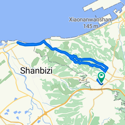
Overview
About this route
三峽-北橫-武嶺-阿里山-嘉義-屏東-南迴-台東-台11-東河-台23-台9-193-太魯閣-埔里-台21-台三-三峽
- -:--
- Duration
- 1,290.8 km
- Distance
- 9,491 m
- Ascent
- 9,491 m
- Descent
- ---
- Avg. speed
- ---
- Max. altitude

Continue with Bikemap
Use, edit, or download this cycling route
You would like to ride 8字環島2 or customize it for your own trip? Here is what you can do with this Bikemap route:
Free features
- Save this route as favorite or in collections
- Copy & plan your own version of this route
- Split it into stages to create a multi-day tour
- Sync your route with Garmin or Wahoo
Premium features
Free trial for 3 days, or one-time payment. More about Bikemap Premium.
- Navigate this route on iOS & Android
- Export a GPX / KML file of this route
- Create your custom printout (try it for free)
- Download this route for offline navigation
Discover more Premium features.
Get Bikemap PremiumFrom our community
Other popular routes starting in Taoyuan District
 大棟山
大棟山- Distance
- 33.7 km
- Ascent
- 1,130 m
- Descent
- 1,132 m
- Location
- Taoyuan District, Taiwan, Taiwan
 三峽 ------> 羅馬公路-------> 三峽
- Distance
- 97.2 km
- Ascent
- 981 m
- Descent
- 980 m
- Location
- Taoyuan District, Taiwan, Taiwan
 宇老滿貫
宇老滿貫- Distance
- 139.4 km
- Ascent
- 2,047 m
- Descent
- 2,051 m
- Location
- Taoyuan District, Taiwan, Taiwan
 Linkou-林口 to Dayuan-大圓
- Distance
- 32.2 km
- Ascent
- 310 m
- Descent
- 310 m
- Location
- Taoyuan District, Taiwan, Taiwan
 民和到大榕樹
- Distance
- 4.4 km
- Ascent
- 382 m
- Descent
- 92 m
- Location
- Taoyuan District, Taiwan, Taiwan
 樹琳大棟山
樹琳大棟山- Distance
- 4.4 km
- Ascent
- 369 m
- Descent
- 80 m
- Location
- Taoyuan District, Taiwan, Taiwan
 一日桃高圖
一日桃高圖- Distance
- 362.3 km
- Ascent
- 155 m
- Descent
- 246 m
- Location
- Taoyuan District, Taiwan, Taiwan
 鶯歌到大溪
鶯歌到大溪- Distance
- 13.7 km
- Ascent
- 160 m
- Descent
- 84 m
- Location
- Taoyuan District, Taiwan, Taiwan
Open it in the app