
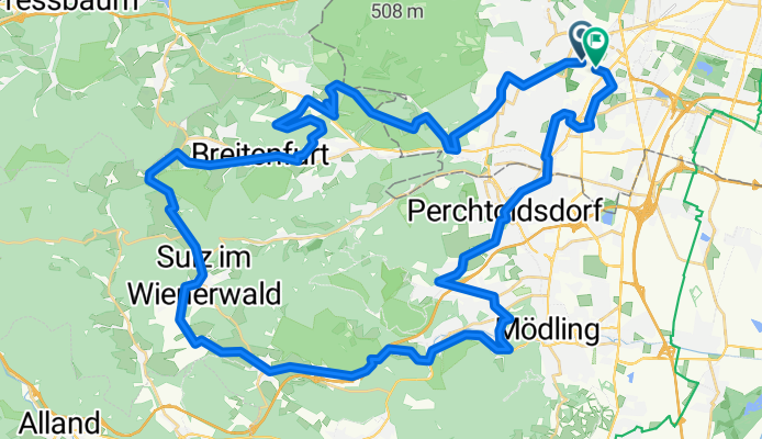
über 7 Hügel
A cycling route starting in Perchtoldsdorf, Lower Austria, Austria.
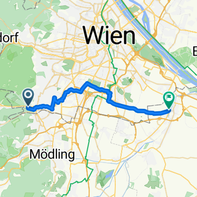
Overview
About this route
first half mountain biking, second half road bike terrain, felt
Rosenhügel - Georgenberg - Kalksburg - Laab im Walde, Klostergasse - Breitenfurt West - Hochrotherd - Sulz - Dornbach - Sparbach - Hinterbrühl - Tirolerhof - Liesing
- -:--
- Duration
- 58.5 km
- Distance
- 939 m
- Ascent
- 889 m
- Descent
- ---
- Avg. speed
- 525 m
- Max. altitude
Route quality
Waytypes & surfaces along the route
Waytypes
Quiet road
14.6 km
(25 %)
Track
10.5 km
(18 %)
Surfaces
Paved
38 km
(65 %)
Unpaved
11.1 km
(19 %)
Asphalt
36.8 km
(63 %)
Gravel
4.7 km
(8 %)
Route highlights
Points of interest along the route

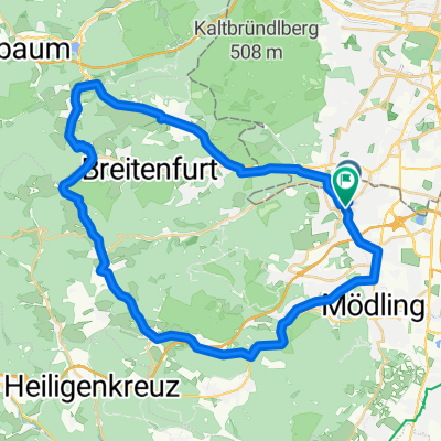
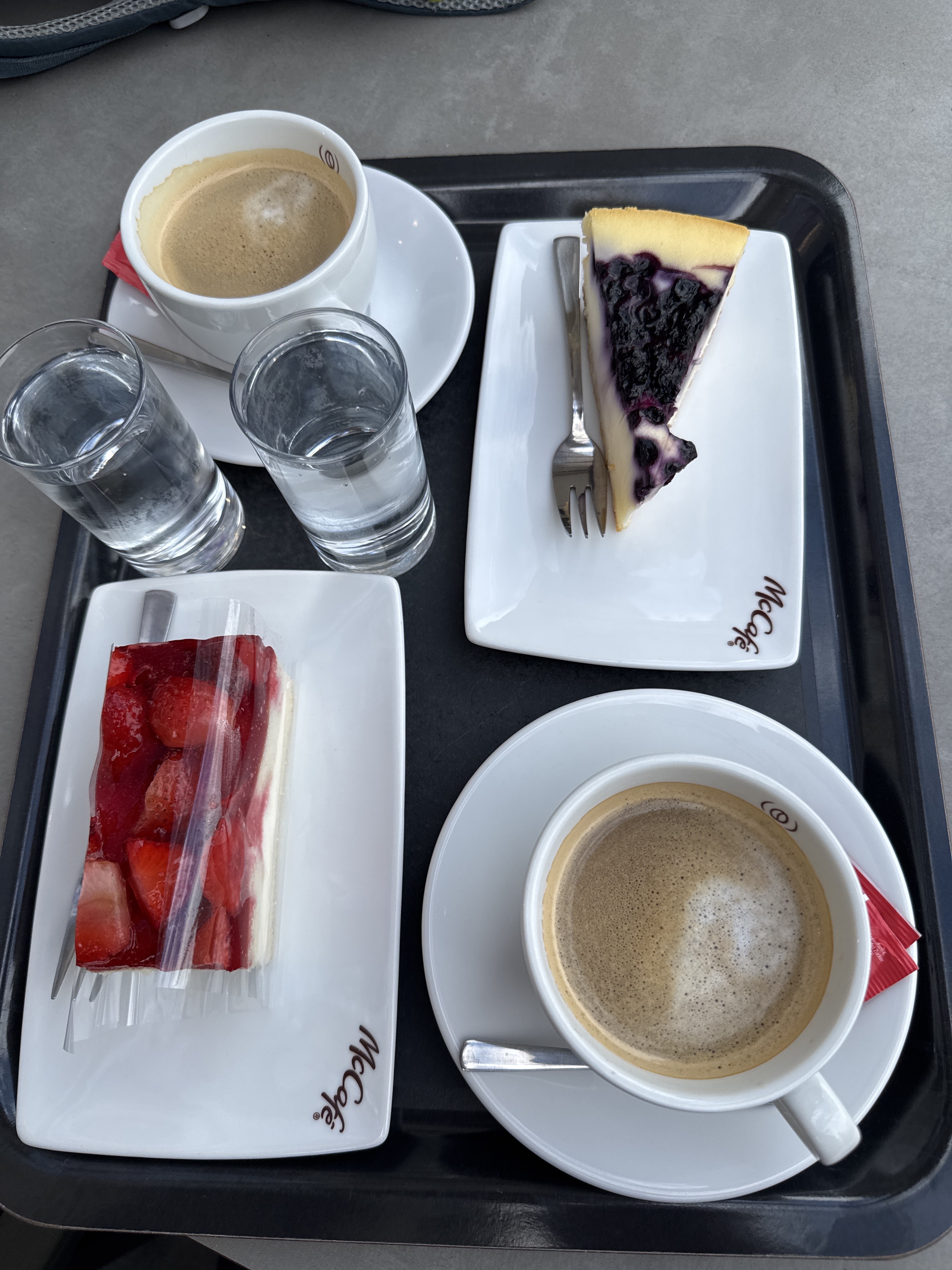
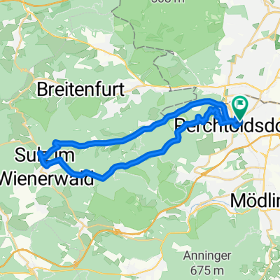
Photo after 8.3 km

Photo after 11.1 km

Photo after 22.5 km

Photo after 50.8 km
Continue with Bikemap
Use, edit, or download this cycling route
You would like to ride über 7 Hügel or customize it for your own trip? Here is what you can do with this Bikemap route:
Free features
- Save this route as favorite or in collections
- Copy & plan your own version of this route
- Sync your route with Garmin or Wahoo
Premium features
Free trial for 3 days, or one-time payment. More about Bikemap Premium.
- Navigate this route on iOS & Android
- Export a GPX / KML file of this route
- Create your custom printout (try it for free)
- Download this route for offline navigation
Discover more Premium features.
Get Bikemap PremiumFrom our community
Other popular routes starting in Perchtoldsdorf
 1/2 Ironman
- Distance
- 44.1 km
- Ascent
- 684 m
- Descent
- 682 m
- Location
- Perchtoldsdorf, Lower Austria, Austria
 Äussere Mariahilfer Strasse - Thaliastrasse - Brunnenmarkt. 🚶♀️🚶♂️
- Distance
- 41.4 km
- Ascent
- 388 m
- Descent
- 381 m
- Location
- Perchtoldsdorf, Lower Austria, Austria
 Office über Wöglerin
- Distance
- 47.4 km
- Ascent
- 626 m
- Descent
- 657 m
- Location
- Perchtoldsdorf, Lower Austria, Austria
 Parapluistrecke, Perchtoldsdorf
- Distance
- 26.6 km
- Ascent
- 661 m
- Descent
- 608 m
- Location
- Perchtoldsdorf, Lower Austria, Austria
 Mauer nach Wienerwaldsee und Retour
- Distance
- 44.7 km
- Ascent
- 765 m
- Descent
- 765 m
- Location
- Perchtoldsdorf, Lower Austria, Austria
 elg:// Liesingbachradweg (Breitenfurt-Schwechat)
- Distance
- 23.4 km
- Ascent
- 57 m
- Descent
- 146 m
- Location
- Perchtoldsdorf, Lower Austria, Austria
 elg:// Doktorberg-Strecke
- Distance
- 13.2 km
- Ascent
- 322 m
- Descent
- 322 m
- Location
- Perchtoldsdorf, Lower Austria, Austria
 Parapluistrecke, Perchtoldsdorf
- Distance
- 26.6 km
- Ascent
- 498 m
- Descent
- 495 m
- Location
- Perchtoldsdorf, Lower Austria, Austria
Open it in the app