

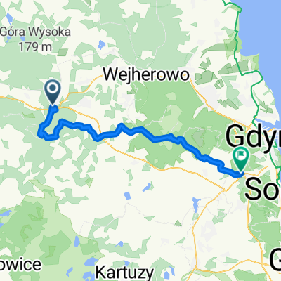
Granica z 1939 roku. Rzeki Reda i Piaśnica - morze
A cycling route starting in Luzino, Pomeranian Voivodeship, Poland.
Overview
About this route
Route: Strzebielino, rivers Reda and Piaśnica, sea, Słupsk.
- -:--
- Duration
- 142.9 km
- Distance
- 369 m
- Ascent
- 410 m
- Descent
- ---
- Avg. speed
- ---
- Max. altitude

Route quality
Waytypes & surfaces along the route
Waytypes
Quiet road
32.9 km
(23 %)
Road
20 km
(14 %)
Surfaces
Paved
88.6 km
(62 %)
Unpaved
18.6 km
(13 %)
Asphalt
88.6 km
(62 %)
Gravel
11.4 km
(8 %)
Continue with Bikemap
Use, edit, or download this cycling route
You would like to ride Granica z 1939 roku. Rzeki Reda i Piaśnica - morze or customize it for your own trip? Here is what you can do with this Bikemap route:
Free features
- Save this route as favorite or in collections
- Copy & plan your own version of this route
- Split it into stages to create a multi-day tour
- Sync your route with Garmin or Wahoo
Premium features
Free trial for 3 days, or one-time payment. More about Bikemap Premium.
- Navigate this route on iOS & Android
- Export a GPX / KML file of this route
- Create your custom printout (try it for free)
- Download this route for offline navigation
Discover more Premium features.
Get Bikemap PremiumFrom our community
Other popular routes starting in Luzino
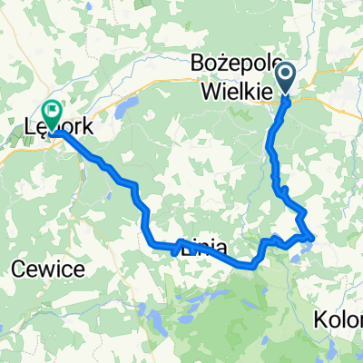 Dworcowa 4, Strzebielino do Piotra Wysockiego 1C, Lębork
- Distance
- 49.9 km
- Ascent
- 2,175 m
- Descent
- 2,188 m
- Location
- Luzino, Pomeranian Voivodeship, Poland
 Kaszuby d. 4 30.05
- Distance
- 64.6 km
- Ascent
- 260 m
- Descent
- 335 m
- Location
- Luzino, Pomeranian Voivodeship, Poland
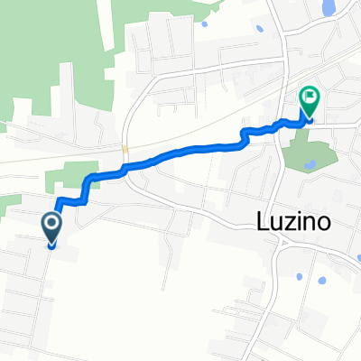
 Młyńska 7a, Luzino do Kasztanowa 16, Luzino
- Distance
- 10.2 km
- Ascent
- 249 m
- Descent
- 256 m
- Location
- Luzino, Pomeranian Voivodeship, Poland
 08.04
08.04- Distance
- 7.4 km
- Ascent
- 250 m
- Descent
- 247 m
- Location
- Luzino, Pomeranian Voivodeship, Poland
 Chabrowa 12, Luzino do Młyńska 5A, Luzino
- Distance
- 1.6 km
- Ascent
- 17 m
- Descent
- 28 m
- Location
- Luzino, Pomeranian Voivodeship, Poland
 Strzebielino - Dąbrowa
- Distance
- 48.5 km
- Ascent
- 602 m
- Descent
- 514 m
- Location
- Luzino, Pomeranian Voivodeship, Poland
 Granica z 1939 roku. Rzeki Reda i Piaśnica - morze
- Distance
- 142.9 km
- Ascent
- 369 m
- Descent
- 410 m
- Location
- Luzino, Pomeranian Voivodeship, Poland
 Dworcowa 4, Strzebielino do Piotra Wysockiego 1D, Lębork
- Distance
- 30.8 km
- Ascent
- 665 m
- Descent
- 659 m
- Location
- Luzino, Pomeranian Voivodeship, Poland
Open it in the app