

Durch die Heide nach Kuhmühlen
A cycling route starting in Hanstedt, Lower Saxony, Germany.
Overview
About this route
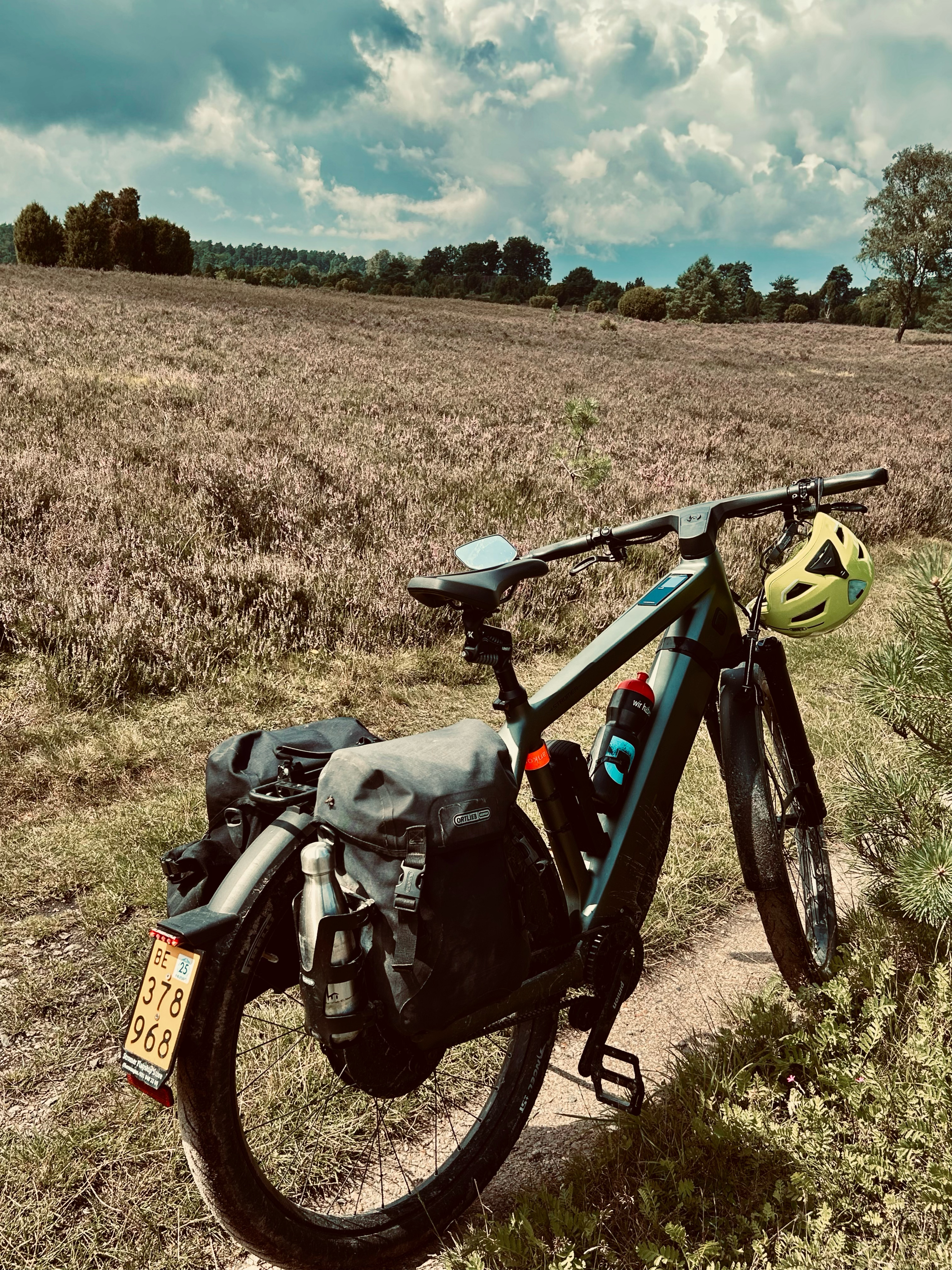
Great route through the NSG Lüneburger Heide and over the Wilseder Berg. Then a nice flat route through the villages up to Kuhmühlen.
- -:--
- Duration
- 79.7 km
- Distance
- 202 m
- Ascent
- 226 m
- Descent
- ---
- Avg. speed
- ---
- Max. altitude
Route quality
Waytypes & surfaces along the route
Waytypes
Quiet road
24.7 km
(31 %)
Track
23.9 km
(30 %)
Surfaces
Paved
28.7 km
(36 %)
Unpaved
23.1 km
(29 %)
Asphalt
19.9 km
(25 %)
Gravel
11.2 km
(14 %)
Continue with Bikemap
Use, edit, or download this cycling route
You would like to ride Durch die Heide nach Kuhmühlen or customize it for your own trip? Here is what you can do with this Bikemap route:
Free features
- Save this route as favorite or in collections
- Copy & plan your own version of this route
- Sync your route with Garmin or Wahoo
Premium features
Free trial for 3 days, or one-time payment. More about Bikemap Premium.
- Navigate this route on iOS & Android
- Export a GPX / KML file of this route
- Create your custom printout (try it for free)
- Download this route for offline navigation
Discover more Premium features.
Get Bikemap PremiumFrom our community
Other popular routes starting in Hanstedt
 kl. Heiderunde
- Distance
- 34.4 km
- Ascent
- 246 m
- Descent
- 246 m
- Location
- Hanstedt, Lower Saxony, Germany
 Nr. 16 Runde Lüneburgerheide (55 km)
- Distance
- 54.1 km
- Ascent
- 550 m
- Descent
- 493 m
- Location
- Hanstedt, Lower Saxony, Germany
 Nordheide - Harburger Berge und zurück
- Distance
- 82.2 km
- Ascent
- 477 m
- Descent
- 479 m
- Location
- Hanstedt, Lower Saxony, Germany
 Waldbad Runde
- Distance
- 38 km
- Ascent
- 590 m
- Descent
- 590 m
- Location
- Hanstedt, Lower Saxony, Germany
 Tour am 18.06.2020
- Distance
- 26.1 km
- Ascent
- 208 m
- Descent
- 208 m
- Location
- Hanstedt, Lower Saxony, Germany
 Winsener Straße 57, Hanstedt nach Franz-Barca-Weg 36, Hanstedt
- Distance
- 34.8 km
- Ascent
- 265 m
- Descent
- 257 m
- Location
- Hanstedt, Lower Saxony, Germany
 Geländefahrt zum Mittagsschlaf
- Distance
- 21.1 km
- Ascent
- 224 m
- Descent
- 196 m
- Location
- Hanstedt, Lower Saxony, Germany
 Hittfeld-Augustenhöhe
- Distance
- 41 km
- Ascent
- 169 m
- Descent
- 169 m
- Location
- Hanstedt, Lower Saxony, Germany
Open it in the app