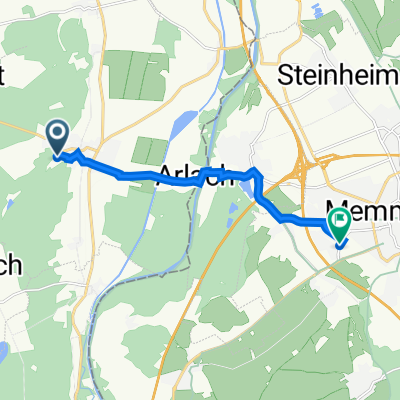
201405-01 Iller - Donau - Zusam Tannheim - Illerradweg - Ulm
A cycling route starting in Tannheim, Baden-Wurttemberg, Germany.
Overview
About this route
2014 Iller - Donau - Zusam 01 Tannheim - Illerradweg - Ulm
- -:--
- Duration
- 57 km
- Distance
- 30 m
- Ascent
- 127 m
- Descent
- ---
- Avg. speed
- ---
- Max. altitude
Continue with Bikemap
Use, edit, or download this cycling route
You would like to ride 201405-01 Iller - Donau - Zusam Tannheim - Illerradweg - Ulm or customize it for your own trip? Here is what you can do with this Bikemap route:
Free features
- Save this route as favorite or in collections
- Copy & plan your own version of this route
- Sync your route with Garmin or Wahoo
Premium features
Free trial for 3 days, or one-time payment. More about Bikemap Premium.
- Navigate this route on iOS & Android
- Export a GPX / KML file of this route
- Create your custom printout (try it for free)
- Download this route for offline navigation
Discover more Premium features.
Get Bikemap PremiumFrom our community
Other popular routes starting in Tannheim
- Schäfergasse, Tannheim nach Schäfergasse, Tannheim
- Distance
- 22.6 km
- Ascent
- 31 m
- Descent
- 31 m
- Location
- Tannheim, Baden-Wurttemberg, Germany
- zum Staudacher Weiher
- Distance
- 47.6 km
- Ascent
- 239 m
- Descent
- 200 m
- Location
- Tannheim, Baden-Wurttemberg, Germany
- 100km Tannheim (Württ.) KE Eschach Kreuzthal Badsee (und immer dem Regen entkommen) (KTM)
- Distance
- 99.9 km
- Ascent
- 993 m
- Descent
- 1,034 m
- Location
- Tannheim, Baden-Wurttemberg, Germany
- Tannheim - Sinningen (inkl. Wildschweinpark)
- Distance
- 52.1 km
- Ascent
- 197 m
- Descent
- 195 m
- Location
- Tannheim, Baden-Wurttemberg, Germany
- Martinshöhe 38, Rot an der Rot nach Griesweg 30, Bad Schussenried
- Distance
- 34.7 km
- Ascent
- 334 m
- Descent
- 436 m
- Location
- Tannheim, Baden-Wurttemberg, Germany
- Tannheim - Memingen - Volkratshofen - Ferthofen - Illerbrücke - Tannheim
- Distance
- 25.6 km
- Ascent
- 100 m
- Descent
- 102 m
- Location
- Tannheim, Baden-Wurttemberg, Germany
- Tannheim > Langenargen
- Distance
- 79 km
- Ascent
- 324 m
- Descent
- 507 m
- Location
- Tannheim, Baden-Wurttemberg, Germany
- Rottalrunde
- Distance
- 40.2 km
- Ascent
- 261 m
- Descent
- 261 m
- Location
- Tannheim, Baden-Wurttemberg, Germany
Open it in the app