NAHE Idar-Oberstein Tag 1
A cycling route starting in Idar-Oberstein, Rhineland-Palatinate, Germany.
Overview
About this route
NAHE Idar-Oberstein Day 1 up to Bad Münster am Stein Ebernburg
- -:--
- Duration
- 54 km
- Distance
- 241 m
- Ascent
- 380 m
- Descent
- ---
- Avg. speed
- ---
- Max. altitude
Route quality
Waytypes & surfaces along the route
Waytypes
Track
15.1 km
(28 %)
Quiet road
14 km
(26 %)
Surfaces
Paved
37.2 km
(69 %)
Unpaved
6.5 km
(12 %)
Asphalt
34.5 km
(64 %)
Gravel
4.9 km
(9 %)
Route highlights
Points of interest along the route

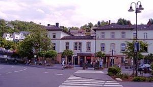
Photo after 0 km
Bahnhof Idar-Oberstein

Photo after 0.8 km
Felsen kirche - Idar Oberstein

Photo after 11.5 km
Nahe bei Bärenbach

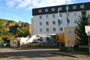
Accommodation after 23.4 km
Ristourant Hotel Picard Hauptstrasse 80 55627 Martinstein Tel.: 06754/94020 Warme Küche : 11:30 Uhr - 14:00 Uhr und 17:00 Uhr - 21:30 Uhr

Photo after 33.2 km
Wehfritz'sche Papiermühle

Photo after 34.7 km
barfußpfad bad sobernheim

Photo after 35 km
barfußpfad bad sobernheim

Photo after 36 km
barfußpfad bad sobernheim

Photo after 37.5 km
Bahnhof Staudernheim

Photo after 43 km
Naheweinland

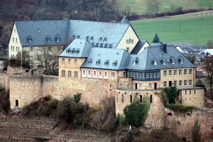
Photo after 53.9 km
Ebernburg Rheingrafenstein

Accommodation after 54 km
Hotel Krone Berliner Straße 73 - 75 55583 Bad Münster am Stein
Continue with Bikemap
Use, edit, or download this cycling route
You would like to ride NAHE Idar-Oberstein Tag 1 or customize it for your own trip? Here is what you can do with this Bikemap route:
Free features
- Save this route as favorite or in collections
- Copy & plan your own version of this route
- Sync your route with Garmin or Wahoo
Premium features
Free trial for 3 days, or one-time payment. More about Bikemap Premium.
- Navigate this route on iOS & Android
- Export a GPX / KML file of this route
- Create your custom printout (try it for free)
- Download this route for offline navigation
Discover more Premium features.
Get Bikemap PremiumFrom our community
Other popular routes starting in Idar-Oberstein
 Teil 4 Idar-Oberstein nach Schwarzenbach
- Distance
- 56.5 km
- Ascent
- 597 m
- Descent
- 460 m
- Location
- Idar-Oberstein, Rhineland-Palatinate, Germany
 NAHE Idar-Oberstein Tag 1
- Distance
- 54 km
- Ascent
- 241 m
- Descent
- 380 m
- Location
- Idar-Oberstein, Rhineland-Palatinate, Germany
 Nahe2
Nahe2- Distance
- 75.4 km
- Ascent
- 397 m
- Descent
- 580 m
- Location
- Idar-Oberstein, Rhineland-Palatinate, Germany
 Rennradrunde 43,5Km, Rilche,Oberham,Kron,Idar,Rilche
- Distance
- 43.4 km
- Ascent
- 737 m
- Descent
- 739 m
- Location
- Idar-Oberstein, Rhineland-Palatinate, Germany
 20130616 Idar-Oberstein - Bingen - Mainz
- Distance
- 109.1 km
- Ascent
- 166 m
- Descent
- 304 m
- Location
- Idar-Oberstein, Rhineland-Palatinate, Germany
 20150621 Nahe Hit Radel mit
- Distance
- 109.3 km
- Ascent
- 227 m
- Descent
- 361 m
- Location
- Idar-Oberstein, Rhineland-Palatinate, Germany
 Idarer Wald
- Distance
- 6.3 km
- Ascent
- 267 m
- Descent
- 263 m
- Location
- Idar-Oberstein, Rhineland-Palatinate, Germany
 20130616 Idar-Oberstein - Bingen - Mainz
- Distance
- 108.9 km
- Ascent
- 229 m
- Descent
- 367 m
- Location
- Idar-Oberstein, Rhineland-Palatinate, Germany
Open it in the app


