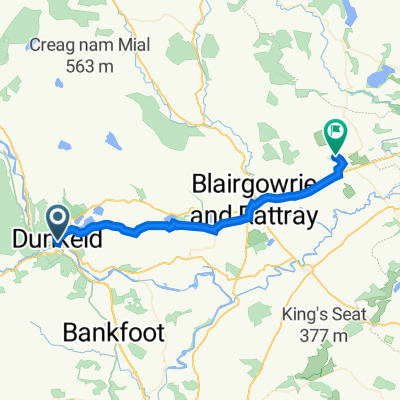
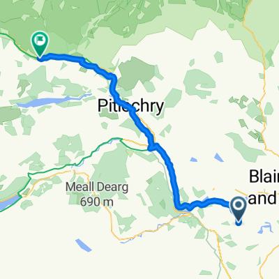
Route England/Scotland day 14
A cycling route starting in Bankfoot, Scotland, United Kingdom.
Overview
About this route
Route England/Scotland day 14
2009 England/Scotland trip- -:--
- Duration
- 118.1 km
- Distance
- 560 m
- Ascent
- 545 m
- Descent
- ---
- Avg. speed
- ---
- Avg. speed
Route quality
Waytypes & surfaces along the route
Waytypes
Road
46.1 km
(39 %)
Busy road
30.2 km
(26 %)
Surfaces
Paved
55 km
(47 %)
Unpaved
7.2 km
(6 %)
Asphalt
54 km
(46 %)
Gravel
6.3 km
(5 %)
Continue with Bikemap
Use, edit, or download this cycling route
You would like to ride Route England/Scotland day 14 or customize it for your own trip? Here is what you can do with this Bikemap route:
Free features
- Save this route as favorite or in collections
- Copy & plan your own version of this route
- Sync your route with Garmin or Wahoo
Premium features
Free trial for 3 days, or one-time payment. More about Bikemap Premium.
- Navigate this route on iOS & Android
- Export a GPX / KML file of this route
- Create your custom printout (try it for free)
- Download this route for offline navigation
Discover more Premium features.
Get Bikemap PremiumFrom our community
Other popular routes starting in Bankfoot
- Dunkeld-Oban
- Distance
- 148.3 km
- Ascent
- 929 m
- Descent
- 988 m
- Location
- Bankfoot, Scotland, United Kingdom
- Dunkeld to Pitlochry on NCR7
- Distance
- 23.1 km
- Ascent
- 240 m
- Descent
- 176 m
- Location
- Bankfoot, Scotland, United Kingdom
- Loch Tay Hills
- Distance
- 207.1 km
- Ascent
- 2,264 m
- Descent
- 2,264 m
- Location
- Bankfoot, Scotland, United Kingdom
- Szkocja 3 Dunkeld - Pitlochry
- Distance
- 23 km
- Ascent
- 248 m
- Descent
- 193 m
- Location
- Bankfoot, Scotland, United Kingdom
- Dunkeld to Pitlochry via Loch Tummel
- Distance
- 66.7 km
- Ascent
- 544 m
- Descent
- 523 m
- Location
- Bankfoot, Scotland, United Kingdom
- Route England/Scotland day 14
- Distance
- 118.1 km
- Ascent
- 560 m
- Descent
- 545 m
- Location
- Bankfoot, Scotland, United Kingdom
- Easy ride in Dunkeld
- Distance
- 5.3 km
- Ascent
- 222 m
- Descent
- 211 m
- Location
- Bankfoot, Scotland, United Kingdom
- Dunkeld to Old Military Road
- Distance
- 74.6 km
- Ascent
- 2,275 m
- Descent
- 2,251 m
- Location
- Bankfoot, Scotland, United Kingdom
Open it in the app