Winkel - Düsseldorf - Winkel
- 166.6 km
- 1,894 m
- 1,903 m
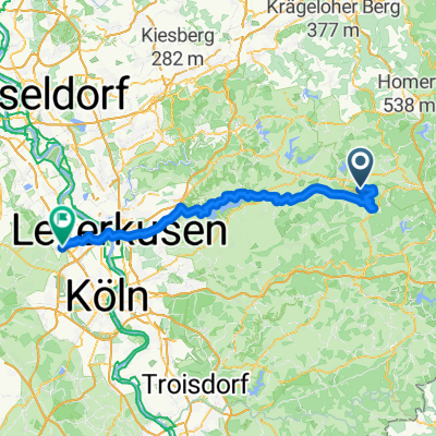
- Marienheide, North Rhine-Westphalia, Germany
Where once trains drove industrialization, today breathtaking natural panoramas, rural idylls, and urban life can be experienced from a cycling perspective. Tunnels, viaducts, and milestones remind us of the railway past. Heights from which the view can wander alternate with historical sights - just a few pedal strokes away.
Path
29.3 km46 %Cycleway
21 km33 %Paved
56 km(88 %)Asphalt
55.3 km87 %Paved (undefined)
0.6 km1 %Undefined
7.6 km12 %Marienheide Bf Bahnhofstr. 51709 Marienheide

Restaurant Dimitra Telegrafenstr. 61 42929 Wermelskirchen Telefon: 02196- 83340 Öffnungszeiten können abweichen. Samstag 11:30–14:30
Free trial for 3 days, or one-time payment. More about Bikemap Premium.
Discover more Premium features.
Get Bikemap PremiumOpen it in the app