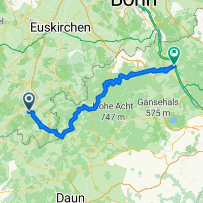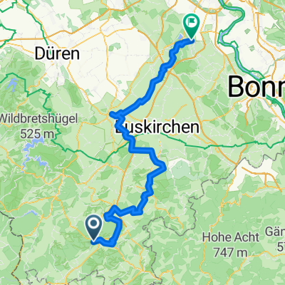
Blankenheim, Nettersheim, Bad münster, Satzvey, Zülpich, Erftstadt, Brühl
- 97.5 km
- 877 m
- 1,298 m
- Blankenheim, North Rhine-Westphalia, Germany
A cycling route starting in Blankenheim, North Rhine-Westphalia, Germany.
Overview
Die Ahr ist ein linker Nebenfluss des Rheins und entspringt ca. 520 m über dem Meeresspiegel am Fuße der Blankenheimer Burg in Nordrhein-Westfalen. Des „Rheines wildeste Tochter“ mündet nach ca. 85 km bei Sinzig in den Rhein. Ungezähmt darf sie sich hier im Mündungsgebiet frei ihr Bett suchen und schuf so ein bedeutendes Naturschutzgebiet.
created this 11 years ago

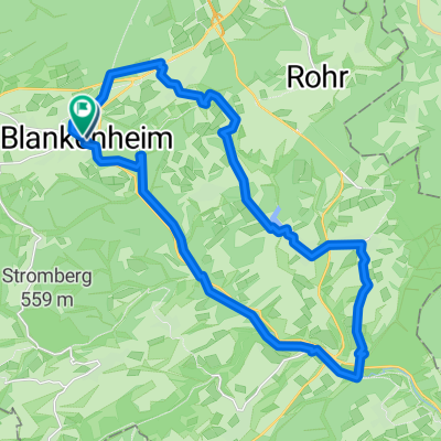
Route highlights

Ahrquelle im "Kuhstall" in Blankenheim

Lommersdorfer Mühle

Hotel-Restaurant-Café zur Linde Inhaber: Familie Rolf Kläsgen Domhofstraße 2 – 53520 Schuld/ Ahr Telefon: +49 2695 201 ab 11:00 Uhr

Wild-Horses-Saloon Seilbahnstraße 2 53505 Altenahr Tel.: 02643 / 8504 Saloon

Altenahrer Burg Are

Mayschoß, Burgruine Saffenburg

Ahrweiler

Ahrmündung

Bahnhof Sinzig
Continue with Bikemap
You would like to ride Ahrtal - Radtour or customize it for your own trip? Here is what you can do with this Bikemap route:
Free trial for 3 days, or one-time payment. More about Bikemap Premium.
Discover more Premium features.
Get Bikemap PremiumFrom our community
Open it in the app