Itinéraire sportif en Beynac-et-Cazenac
- 19.1 km
- 261 m
- 224 m
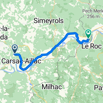
- Carsac-Aillac, Nouvelle-Aquitaine, France
A cycling route starting in Carsac-Aillac, Nouvelle-Aquitaine, France.
Overview
sportive
created this 11 years ago
Route quality
Road
36.7 km
(31 %)
Quiet road
22.5 km
(19 %)
Paved
86.4 km
(73 %)
Unpaved
2.4 km
(2 %)
Asphalt
86.4 km
(73 %)
Ground
2.4 km
(2 %)
Undefined
29.6 km
(25 %)
Continue with Bikemap
You would like to ride la Sarladaise or customize it for your own trip? Here is what you can do with this Bikemap route:
Free trial for 3 days, or one-time payment. More about Bikemap Premium.
Discover more Premium features.
Get Bikemap PremiumFrom our community
Open it in the app