

Roswell NM to Silver City NM
A cycling route starting in Roswell, New Mexico, United States.
Overview
About this route
On and off road bike route from Roswell to Silver City on a more northerly route. Following the Rio Grande River as close as possible to Elephante Butte Reservoir.
This route is still in the planning stages, and I'm seeking feedback about trail conditions. Especially concerning the off pavement portion from San Antonio NM to Elephant Butte Lake. It appears that the delta north of elephant butte lake may be hard to navigate with the load I am carrying. Using the surrounding mountain peaks as visual aids I should be able to diverge west of the Rio Grande. Aim towards Penasco peak as the Fra Cristobel Range grows larger. Follow the trails that meander southward across the various arroyos before they become canyons.- -:--
- Duration
- 546 km
- Distance
- 3,049 m
- Ascent
- 2,334 m
- Descent
- ---
- Avg. speed
- ---
- Max. altitude
Route highlights
Points of interest along the route
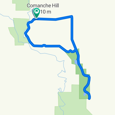
Point of interest after 318 km
Bridge to the East Side of Elmendorf Ditch
Continue with Bikemap
Use, edit, or download this cycling route
You would like to ride Roswell NM to Silver City NM or customize it for your own trip? Here is what you can do with this Bikemap route:
Free features
- Save this route as favorite or in collections
- Copy & plan your own version of this route
- Split it into stages to create a multi-day tour
- Sync your route with Garmin or Wahoo
Premium features
Free trial for 3 days, or one-time payment. More about Bikemap Premium.
- Navigate this route on iOS & Android
- Export a GPX / KML file of this route
- Create your custom printout (try it for free)
- Download this route for offline navigation
Discover more Premium features.
Get Bikemap PremiumFrom our community
Other popular routes starting in Roswell
 Roswell circuit
- Distance
- 44 km
- Ascent
- 82 m
- Descent
- 80 m
- Location
- Roswell, New Mexico, United States
 Route to 705 East Linda Vista Boulevard, Roswell, NM 88201
- Distance
- 22.8 km
- Ascent
- 60 m
- Descent
- 59 m
- Location
- Roswell, New Mexico, United States
 Roswell NM to Silver City NM Onroad
- Distance
- 538 km
- Ascent
- 2,938 m
- Descent
- 2,211 m
- Location
- Roswell, New Mexico, United States
 Bottomless loop 2
- Distance
- 30.9 km
- Ascent
- 192 m
- Descent
- 188 m
- Location
- Roswell, New Mexico, United States
 Roswell NM to Silver City NM
- Distance
- 546 km
- Ascent
- 3,049 m
- Descent
- 2,334 m
- Location
- Roswell, New Mexico, United States
 Roswell western circuit
- Distance
- 27.5 km
- Ascent
- 39 m
- Descent
- 40 m
- Location
- Roswell, New Mexico, United States
 Roswelll NM to Silver City NM
- Distance
- 541.4 km
- Ascent
- 2,878 m
- Descent
- 2,163 m
- Location
- Roswell, New Mexico, United States
 ZAES/STARBUCKS/NMMI
- Distance
- 11.2 km
- Ascent
- 26 m
- Descent
- 31 m
- Location
- Roswell, New Mexico, United States
Open it in the app