

N1 Paderborn 369 km, xxx hm
A cycling route starting in Jöhlingen, Baden-Wurttemberg, Germany.
Overview
About this route
N1
- -:--
- Duration
- 369.9 km
- Distance
- 1,066 m
- Ascent
- 1,117 m
- Descent
- ---
- Avg. speed
- ---
- Max. altitude
Route quality
Waytypes & surfaces along the route
Waytypes
Quiet road
125.2 km
(34 %)
Track
80.3 km
(22 %)
Surfaces
Paved
329.6 km
(89 %)
Unpaved
15 km
(4 %)
Asphalt
296.2 km
(80 %)
Paving stones
13.1 km
(4 %)
Continue with Bikemap
Use, edit, or download this cycling route
You would like to ride N1 Paderborn 369 km, xxx hm or customize it for your own trip? Here is what you can do with this Bikemap route:
Free features
- Save this route as favorite or in collections
- Copy & plan your own version of this route
- Split it into stages to create a multi-day tour
- Sync your route with Garmin or Wahoo
Premium features
Free trial for 3 days, or one-time payment. More about Bikemap Premium.
- Navigate this route on iOS & Android
- Export a GPX / KML file of this route
- Create your custom printout (try it for free)
- Download this route for offline navigation
Discover more Premium features.
Get Bikemap PremiumFrom our community
Other popular routes starting in Jöhlingen
 Strecke vom Internationalen Pfinztallauf
- Distance
- 10.3 km
- Ascent
- 36 m
- Descent
- 36 m
- Location
- Jöhlingen, Baden-Wurttemberg, Germany
 Schulweg via Keltern
- Distance
- 54.6 km
- Ascent
- 411 m
- Descent
- 411 m
- Location
- Jöhlingen, Baden-Wurttemberg, Germany
 kurze Unterkühlungstour
- Distance
- 13.2 km
- Ascent
- 113 m
- Descent
- 112 m
- Location
- Jöhlingen, Baden-Wurttemberg, Germany
 Pfinztal-Bulach
- Distance
- 14.7 km
- Ascent
- 45 m
- Descent
- 58 m
- Location
- Jöhlingen, Baden-Wurttemberg, Germany
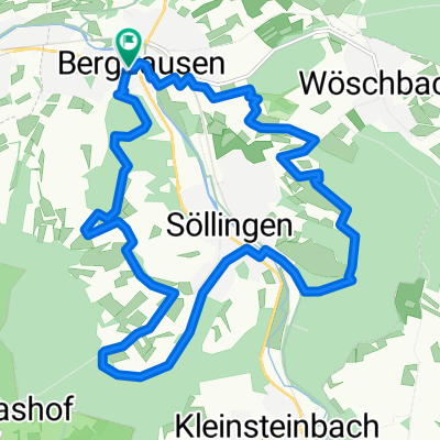 150414_Berghausen_Söllingen
- Distance
- 15.8 km
- Ascent
- 338 m
- Descent
- 340 m
- Location
- Jöhlingen, Baden-Wurttemberg, Germany
 Pfinztal-Grenzsägmühle-Ittersbach-Ettlingen-Pfinztal
- Distance
- 51 km
- Ascent
- 331 m
- Descent
- 333 m
- Location
- Jöhlingen, Baden-Wurttemberg, Germany
 ÖkoRegio-Tour
- Distance
- 68 km
- Ascent
- 455 m
- Descent
- 455 m
- Location
- Jöhlingen, Baden-Wurttemberg, Germany
 Radtour Pfinztal-Walzbachtal
- Distance
- 36.6 km
- Ascent
- 383 m
- Descent
- 383 m
- Location
- Jöhlingen, Baden-Wurttemberg, Germany
Open it in the app