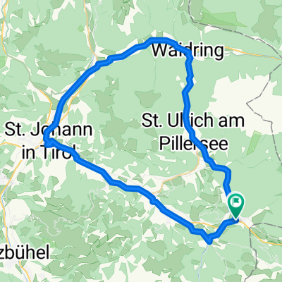
Überquerung Kitzbühler Tag 1
- 40.3 km
- 1,866 m
- 1,735 m
- Hochfilzen, Tyrol, Austria
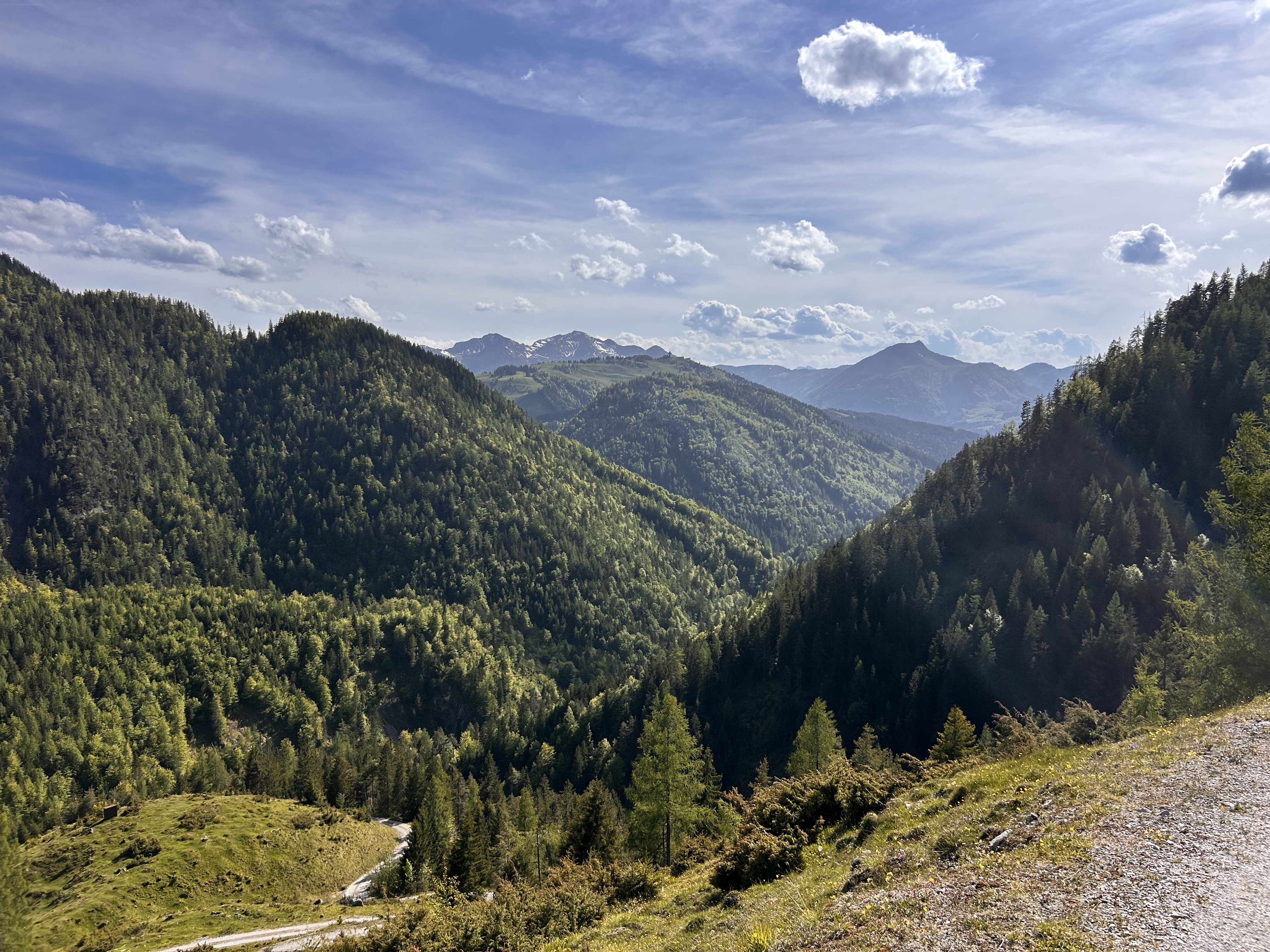
A cycling route starting in Hochfilzen, Tyrol, Austria.
Overview
Overall relaxed, except for the initial climb and about two kilometers of impassable terrain.
created this 11 years ago
Continue with Bikemap
You would like to ride ASITZKOPF or customize it for your own trip? Here is what you can do with this Bikemap route:
Free trial for 3 days, or one-time payment. More about Bikemap Premium.
Discover more Premium features.
Get Bikemap PremiumFrom our community
Open it in the app