

Swistbach Tälerroute
A cycling route starting in Meckenheim, North Rhine-Westphalia, Germany.
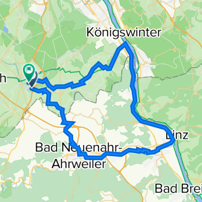
Overview
About this route
Die Swist ist ein Bach mit einer Lauflänge von 43,6 Kilometern und gilt als längster Bachlauf Europas. Vereinzelt wird die Swist auch Swistbach, von Einheimischen oft auch einfach nur "der Bach" genannt.
- -:--
- Duration
- 59.4 km
- Distance
- 100 m
- Ascent
- 214 m
- Descent
- ---
- Avg. speed
- ---
- Avg. speed

Route quality
Waytypes & surfaces along the route
Waytypes
Track
19.6 km
(33 %)
Path
12.7 km
(21 %)
Surfaces
Paved
38.9 km
(66 %)
Unpaved
12.8 km
(22 %)
Asphalt
33.2 km
(56 %)
Gravel
6 km
(10 %)
Route highlights
Points of interest along the route

Photo after 4.4 km
Burg Lüftelberg

Photo after 20.7 km
Burg Metternich

Photo after 27 km
Burg Kühlseggen

Photo after 27.9 km
Swist Mundung in die Erft

Photo after 34.3 km
Schloss Gracht

Accommodation after 34.9 km
Restaurant Alt Liblar Carl-Schurz-Straße 8, 50374 Erftstadt Telefon: 02235 463333 Öffn.: Sa. 11:30 - 14:30
Continue with Bikemap
Use, edit, or download this cycling route
You would like to ride Swistbach Tälerroute or customize it for your own trip? Here is what you can do with this Bikemap route:
Free features
- Save this route as favorite or in collections
- Copy & plan your own version of this route
- Sync your route with Garmin or Wahoo
Premium features
Free trial for 3 days, or one-time payment. More about Bikemap Premium.
- Navigate this route on iOS & Android
- Export a GPX / KML file of this route
- Create your custom printout (try it for free)
- Download this route for offline navigation
Discover more Premium features.
Get Bikemap PremiumFrom our community
Other popular routes starting in Meckenheim
 Dechant-Kreiten-Straße 14, Meckenheim nach Keramikerstraße 61, Rheinbach
- Distance
- 6.5 km
- Ascent
- 18 m
- Descent
- 20 m
- Location
- Meckenheim, North Rhine-Westphalia, Germany
 Rheintal: Wine, Rhine and Romans
- Distance
- 266.2 km
- Ascent
- 6,602 m
- Descent
- 6,603 m
- Location
- Meckenheim, North Rhine-Westphalia, Germany
 Rund um Rheinbach, Ahr und Eifel
- Distance
- 62.6 km
- Ascent
- 440 m
- Descent
- 440 m
- Location
- Meckenheim, North Rhine-Westphalia, Germany
 Kottenforst-Runde
- Distance
- 18.5 km
- Ascent
- 104 m
- Descent
- 104 m
- Location
- Meckenheim, North Rhine-Westphalia, Germany
 Small round south of Bonn, Germany
- Distance
- 58.4 km
- Ascent
- 300 m
- Descent
- 290 m
- Location
- Meckenheim, North Rhine-Westphalia, Germany
 Meckenheim - Rech
- Distance
- 44.7 km
- Ascent
- 760 m
- Descent
- 760 m
- Location
- Meckenheim, North Rhine-Westphalia, Germany
 Kottenforst-Ville
- Distance
- 62.3 km
- Ascent
- 106 m
- Descent
- 227 m
- Location
- Meckenheim, North Rhine-Westphalia, Germany
 Trainingsrunde Meckem-Pech-Berkum
- Distance
- 44 km
- Ascent
- 485 m
- Descent
- 485 m
- Location
- Meckenheim, North Rhine-Westphalia, Germany
Open it in the app