Schweriner Seeblicke | Residenzensemble Runde
- 9.8 km
- 53 m
- 55 m
- Paulsstadt, Mecklenburg-Vorpommern, Germany
A cycling route starting in Paulsstadt, Mecklenburg-Vorpommern, Germany.
Overview
We start our tour at Schwerin Central Station and ride along the street...
created this 10 years ago
Route quality
Path
9.2 km
(29 %)
Quiet road
7.3 km
(23 %)
Paved
23.6 km
(74 %)
Unpaved
1.6 km
(5 %)
Asphalt
23.6 km
(74 %)
Gravel
1 km
(3 %)
Route highlights
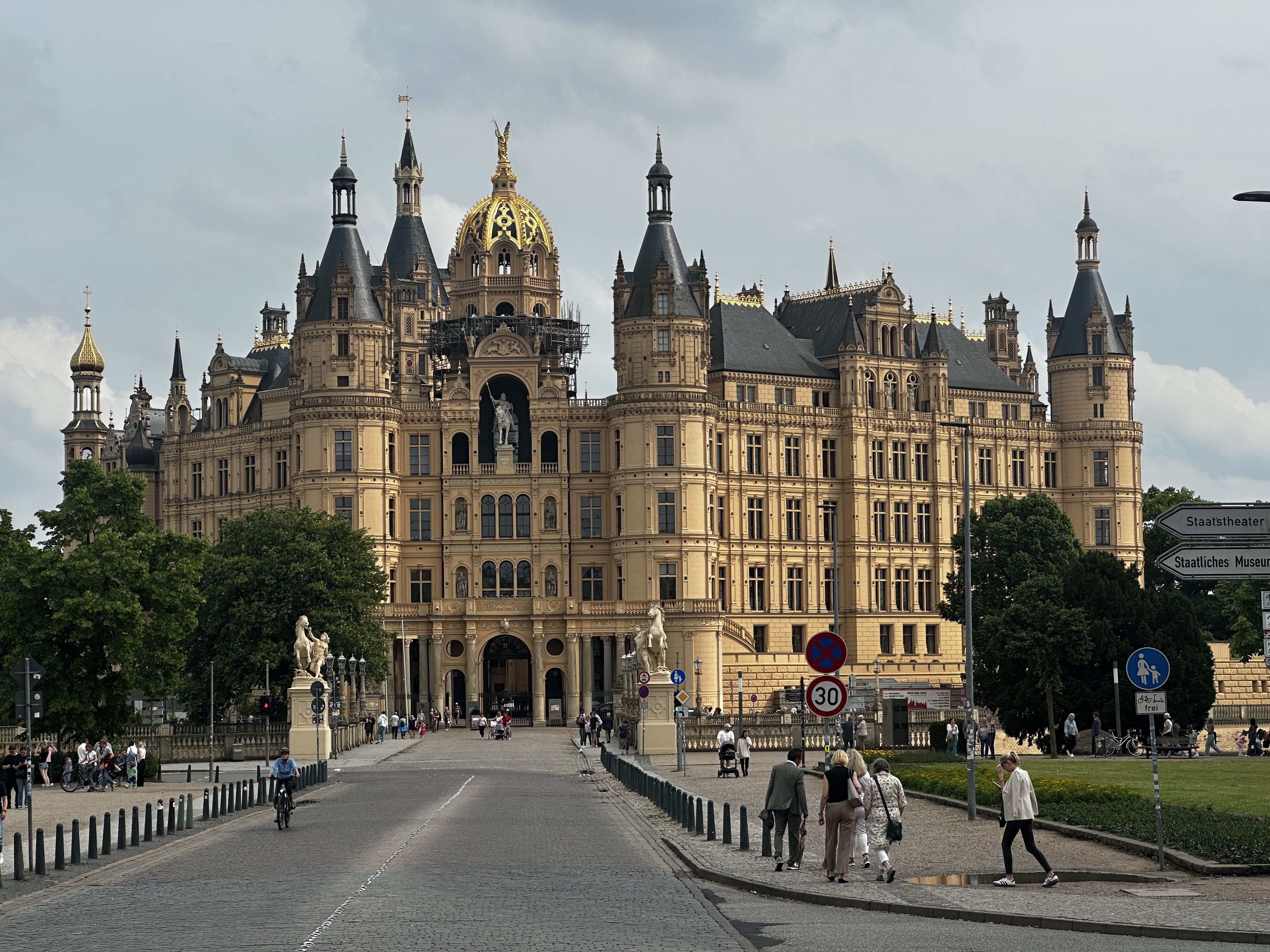
Wir beginnen unsere Tour am Schweriner Hauptbahnhof und fahren auf der Straße „Zum Bahnhof“ nach links zum Pfaffenteich, wo jedes Jahr ein großes Drachenbootfestival stattfindet. Anschließend passieren wir den Schweriner Dom (1). Das beeindruckende Z
Wir beginnen unsere Tour am Schweriner Hauptbahnhof und fahren auf der Straße „Zum Bahnhof“ nach links zum Pfaffenteich, wo jedes Jahr ein großes Drachenbootfestival stattfindet. Anschließend passieren wir den Schweriner Dom (1). Das beeindruckende Z
Wir beginnen unsere Tour am Schweriner Hauptbahnhof und fahren auf der Straße „Zum Bahnhof“ nach links zum Pfaffenteich, wo jedes Jahr ein großes Drachenbootfestival stattfindet. Anschließend passieren wir den Schweriner Dom (1). Das beeindruckende Z
Wir beginnen unsere Tour am Schweriner Hauptbahnhof und fahren auf der Straße „Zum Bahnhof“ nach links zum Pfaffenteich, wo jedes Jahr ein großes Drachenbootfestival stattfindet. Anschließend passieren wir den Schweriner Dom (1). Das beeindruckende Z
Continue with Bikemap
You would like to ride Um den Schweriner See (Südrunde) or customize it for your own trip? Here is what you can do with this Bikemap route:
Free trial for 3 days, or one-time payment. More about Bikemap Premium.
Discover more Premium features.
Get Bikemap PremiumFrom our community
Open it in the app