

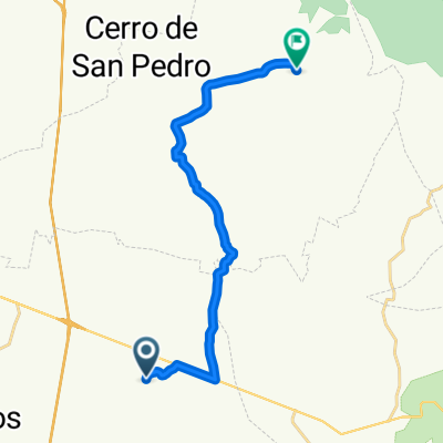
San José de los Gómez
A cycling route starting in Ciudad Satélite, San Luis Potosí, Mexico.
Overview
About this route
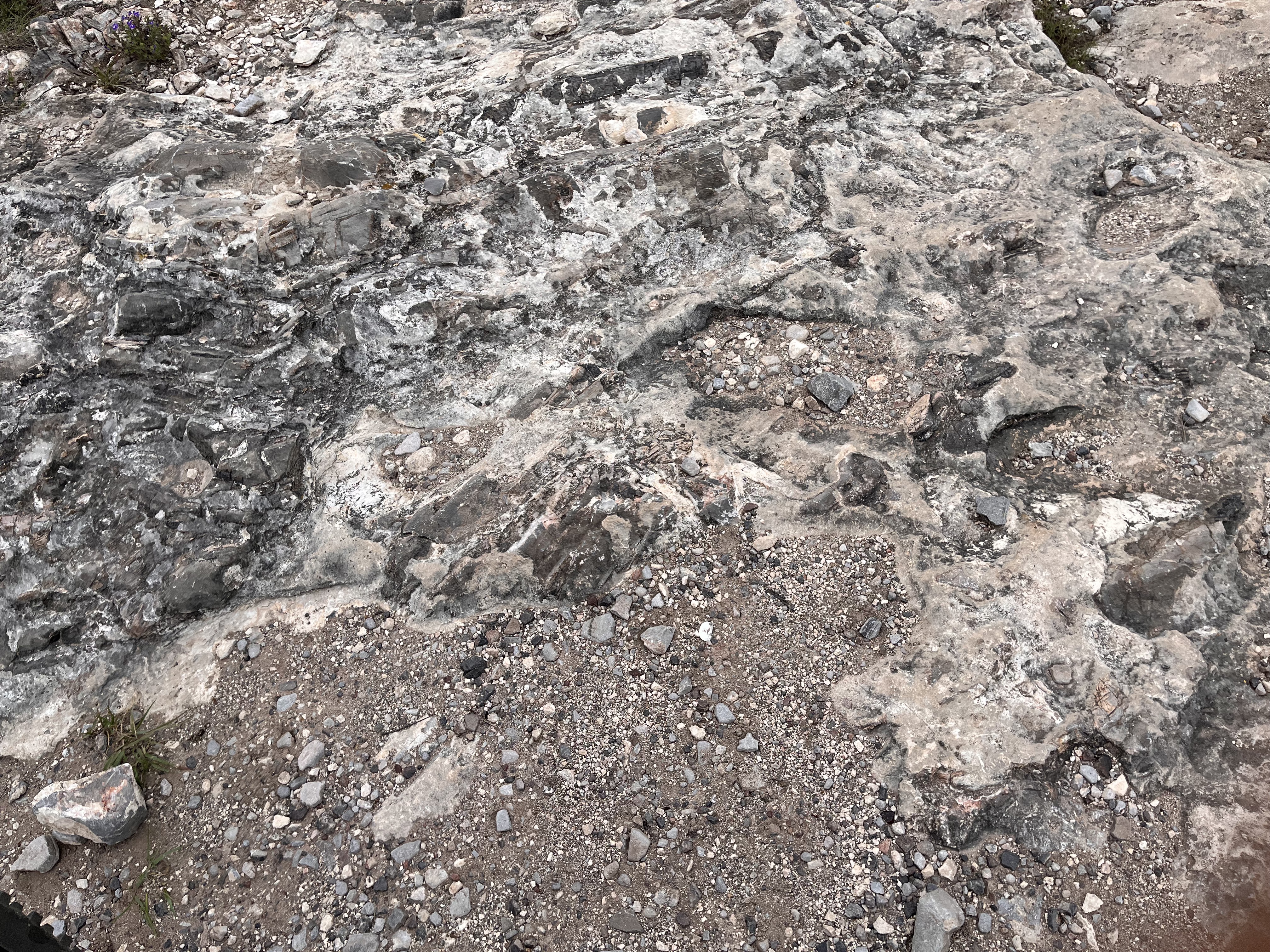
Excellent route through forest, single tracks, and downhill.
- -:--
- Duration
- 16.9 km
- Distance
- 350 m
- Ascent
- 349 m
- Descent
- ---
- Avg. speed
- ---
- Max. altitude

Continue with Bikemap
Use, edit, or download this cycling route
You would like to ride San José de los Gómez or customize it for your own trip? Here is what you can do with this Bikemap route:
Free features
- Save this route as favorite or in collections
- Copy & plan your own version of this route
- Sync your route with Garmin or Wahoo
Premium features
Free trial for 3 days, or one-time payment. More about Bikemap Premium.
- Navigate this route on iOS & Android
- Export a GPX / KML file of this route
- Create your custom printout (try it for free)
- Download this route for offline navigation
Discover more Premium features.
Get Bikemap PremiumFrom our community
Other popular routes starting in Ciudad Satélite
 Paseo tranquilo Tanque Tenorio
- Distance
- 14.1 km
- Ascent
- 79 m
- Descent
- 76 m
- Location
- Ciudad Satélite, San Luis Potosí, Mexico
 De Circuito de San Miguelito Ote. a 55RF+6X
- Distance
- 16.8 km
- Ascent
- 155 m
- Descent
- 126 m
- Location
- Ciudad Satélite, San Luis Potosí, Mexico
 De Nacozari a Calle Bajada Del Molino 6A
- Distance
- 18.9 km
- Ascent
- 292 m
- Descent
- 122 m
- Location
- Ciudad Satélite, San Luis Potosí, Mexico
 De Avenida Altiplano a 6754+74
- Distance
- 19.9 km
- Ascent
- 397 m
- Descent
- 205 m
- Location
- Ciudad Satélite, San Luis Potosí, Mexico
 Cerro de San Pedro a Calle Plaza Juárez, Cerro de San Pedro
- Distance
- 14.6 km
- Ascent
- 365 m
- Descent
- 379 m
- Location
- Ciudad Satélite, San Luis Potosí, Mexico
 San José de los Gómez
- Distance
- 16.9 km
- Ascent
- 350 m
- Descent
- 349 m
- Location
- Ciudad Satélite, San Luis Potosí, Mexico
 Cerro de San Pedro a Calle Bajada del Molino, Cerro de San Pedro
- Distance
- 14.3 km
- Ascent
- 318 m
- Descent
- 347 m
- Location
- Ciudad Satélite, San Luis Potosí, Mexico
 De San Luis Potosi - Rioverde 286, Los Gómez Lado Oriente a Mariano Matamoros 16, Cieneguillas
- Distance
- 146.7 km
- Ascent
- 1,410 m
- Descent
- 2,416 m
- Location
- Ciudad Satélite, San Luis Potosí, Mexico
Open it in the app