

Hallstatt - Ennsradweg - Prag - 2014
A cycling route starting in Bad Goisern am Hallstättersee, Upper Austria, Austria.
Overview
About this route
Start : Hallstatt
Destination : Prague - 9 Prosek
Distance : 669 km
Ascent : 1950 m
- -:--
- Duration
- 668.7 km
- Distance
- 1,491 m
- Ascent
- 1,751 m
- Descent
- ---
- Avg. speed
- ---
- Max. altitude
Route quality
Waytypes & surfaces along the route
Waytypes
Road
140.4 km
(21 %)
Quiet road
133.7 km
(20 %)
Surfaces
Paved
341.1 km
(51 %)
Unpaved
46.8 km
(7 %)
Asphalt
334.4 km
(50 %)
Gravel
33.4 km
(5 %)
Route highlights
Points of interest along the route

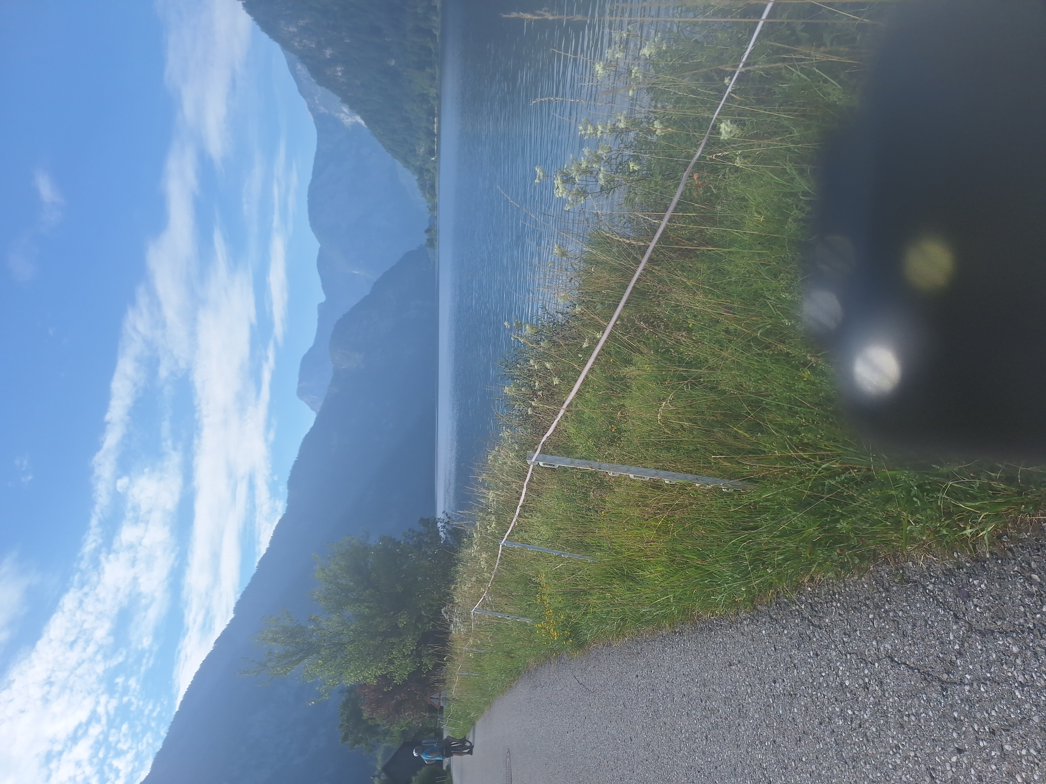
Photo after 0 km
Startovní foto

Accommodation after 60.6 km
Taurencamping

Accommodation after 133.3 km
Putterersee camping

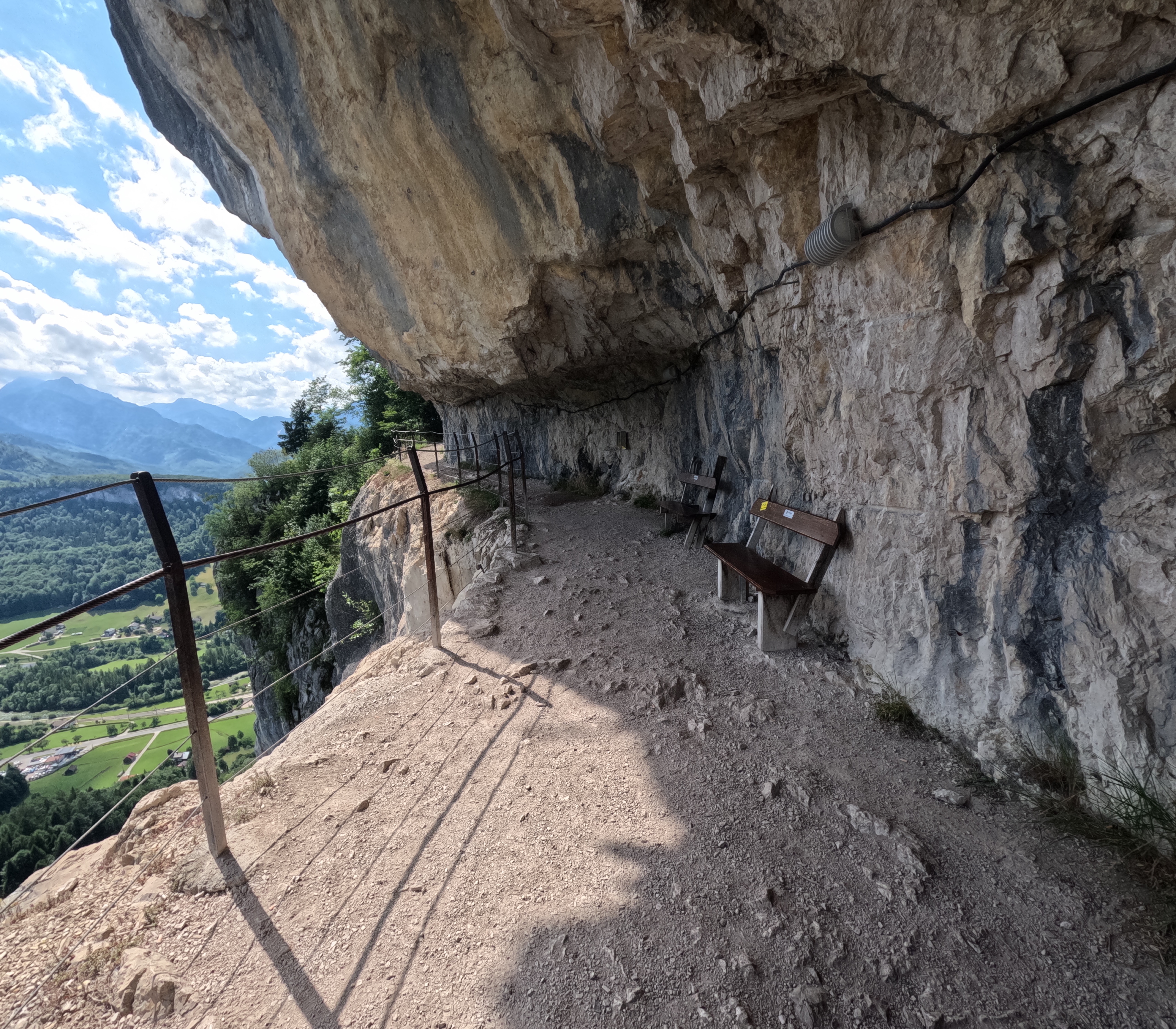
Point of interest after 220.5 km
Weiberlauf camping

Accommodation after 307 km
Forelle camping Steyr

Accommodation after 383.2 km
U dobrých lidí v tenisovém klubu

Accommodation after 473.1 km
Kemp Paříž

Accommodation after 548 km
Kemp Knížecí rybník

Accommodation after 606.3 km
U rodičů na chalupě

Photo after 668.7 km
Cílové foto
Continue with Bikemap
Use, edit, or download this cycling route
You would like to ride Hallstatt - Ennsradweg - Prag - 2014 or customize it for your own trip? Here is what you can do with this Bikemap route:
Free features
- Save this route as favorite or in collections
- Copy & plan your own version of this route
- Split it into stages to create a multi-day tour
- Sync your route with Garmin or Wahoo
Premium features
Free trial for 3 days, or one-time payment. More about Bikemap Premium.
- Navigate this route on iOS & Android
- Export a GPX / KML file of this route
- Create your custom printout (try it for free)
- Download this route for offline navigation
Discover more Premium features.
Get Bikemap PremiumFrom our community
Other popular routes starting in Bad Goisern am Hallstättersee
 Bad Goiserm_Altau See_Bad Ischl-Bad Goiserm
- Distance
- 47.4 km
- Ascent
- 809 m
- Descent
- 807 m
- Location
- Bad Goisern am Hallstättersee, Upper Austria, Austria
 Obere Marktstraße nach Rudolf-von-Alt-Weg 9D
- Distance
- 36.1 km
- Ascent
- 326 m
- Descent
- 376 m
- Location
- Bad Goisern am Hallstättersee, Upper Austria, Austria
 gosau Runde ab Goisern
- Distance
- 66.9 km
- Ascent
- 1,344 m
- Descent
- 1,344 m
- Location
- Bad Goisern am Hallstättersee, Upper Austria, Austria
 Hallstatt - Ennsradweg - Prag - 2014
- Distance
- 668.7 km
- Ascent
- 1,491 m
- Descent
- 1,751 m
- Location
- Bad Goisern am Hallstättersee, Upper Austria, Austria
 Bundesstraße, Bad Goisern am Hallstättersee nach Untere Marktstraße, Bad Goisern am Hallstättersee
- Distance
- 28.4 km
- Ascent
- 932 m
- Descent
- 918 m
- Location
- Bad Goisern am Hallstättersee, Upper Austria, Austria
 Zur Blaa-Alm
- Distance
- 45.3 km
- Ascent
- 846 m
- Descent
- 849 m
- Location
- Bad Goisern am Hallstättersee, Upper Austria, Austria
 In der Brandten, Bad Goisern am Hallstättersee nach Bahnstraße, Strobl am Wolfgangsee
- Distance
- 20.7 km
- Ascent
- 194 m
- Descent
- 139 m
- Location
- Bad Goisern am Hallstättersee, Upper Austria, Austria
 Bike-Steig Ewige Wand Runde und Hallstätter See von Bad Goisern. 🚴♂️🚴
- Distance
- 21.5 km
- Ascent
- 509 m
- Descent
- 510 m
- Location
- Bad Goisern am Hallstättersee, Upper Austria, Austria
Open it in the app