Route des Grand Alps Teil 6
- 100 km
- 2,229 m
- 3,234 m
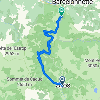
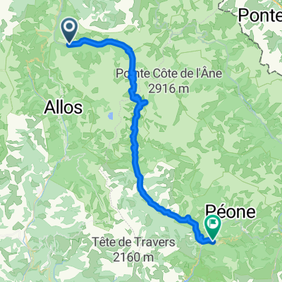
- Barcelonnette, Provence-Alpes-Côte d'Azur Region, France
Col de la Cayolle (2326 m)<br /> Col des Champs (2089 m)<br /> Col d'Allos (2250 m)
Road
32.5 km26 %Quiet road
2.5 km2 %Paved
85.1 km(68 %)Asphalt
85.1 km68 %Undefined
40.1 km32 %Col de la Cayolle (2326 m)
Col des Champs (2089 m)
Col d'Allos (2250 m)
Free trial for 3 days, or one-time payment. More about Bikemap Premium.
Discover more Premium features.
Get Bikemap PremiumOpen it in the app