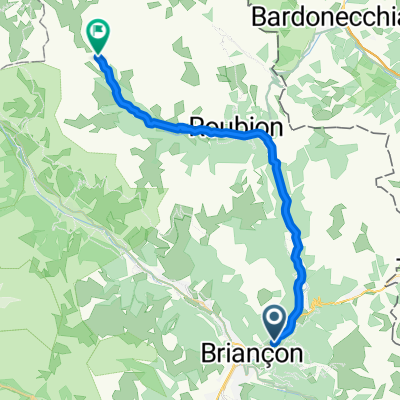
Francia Alpok 09 vándor
A cycling route starting in Briançon, Provence-Alpes-Côte d'Azur Region, France.
Overview
About this route
Col du Lautaret (2058 m)<br /> Col du Galibier (2645 m)
- -:--
- Duration
- 69.8 km
- Distance
- 824 m
- Ascent
- 1,464 m
- Descent
- ---
- Avg. speed
- ---
- Avg. speed
Route quality
Waytypes & surfaces along the route
Waytypes
Busy road
58.9 km
(84 %)
Quiet road
9 km
(13 %)
Surfaces
Paved
61.1 km
(88 %)
Asphalt
61.1 km
(88 %)
Undefined
8.7 km
(12 %)
Route highlights
Points of interest along the route
Point of interest after 28.6 km
Col du Galibier (2645 m)
Point of interest after 30.2 km
Col du Lautaret (2058 m)
Continue with Bikemap
Use, edit, or download this cycling route
You would like to ride Francia Alpok 09 vándor or customize it for your own trip? Here is what you can do with this Bikemap route:
Free features
- Save this route as favorite or in collections
- Copy & plan your own version of this route
- Sync your route with Garmin or Wahoo
Premium features
Free trial for 3 days, or one-time payment. More about Bikemap Premium.
- Navigate this route on iOS & Android
- Export a GPX / KML file of this route
- Create your custom printout (try it for free)
- Download this route for offline navigation
Discover more Premium features.
Get Bikemap PremiumFrom our community
Other popular routes starting in Briançon
- Colle dell Izoard
- Distance
- 84.5 km
- Ascent
- 1,581 m
- Descent
- 1,579 m
- Location
- Briançon, Provence-Alpes-Côte d'Azur Region, France
- Briançon [Col d'Izoard] loop
- Distance
- 94.2 km
- Ascent
- 1,814 m
- Descent
- 1,814 m
- Location
- Briançon, Provence-Alpes-Côte d'Azur Region, France
- Westalpen Etappe 09 - Briancon
- Distance
- 83.5 km
- Ascent
- 1,633 m
- Descent
- 1,633 m
- Location
- Briançon, Provence-Alpes-Côte d'Azur Region, France
- Francia_2018_2
- Distance
- 124.1 km
- Ascent
- 2,447 m
- Descent
- 3,033 m
- Location
- Briançon, Provence-Alpes-Côte d'Azur Region, France
- Col du Granon kör
- Distance
- 66.4 km
- Ascent
- 2,625 m
- Descent
- 2,625 m
- Location
- Briançon, Provence-Alpes-Côte d'Azur Region, France
- 3 Briancon Izoard - Montgenevre - Sestriere -Montgenevre
- Distance
- 101 km
- Ascent
- 2,824 m
- Descent
- 2,787 m
- Location
- Briançon, Provence-Alpes-Côte d'Azur Region, France
- Col de Granon
- Distance
- 49.5 km
- Ascent
- 1,442 m
- Descent
- 1,442 m
- Location
- Briançon, Provence-Alpes-Côte d'Azur Region, France
- Col du Galibier via the old road
- Distance
- 52 km
- Ascent
- 1,387 m
- Descent
- 1,239 m
- Location
- Briançon, Provence-Alpes-Côte d'Azur Region, France