

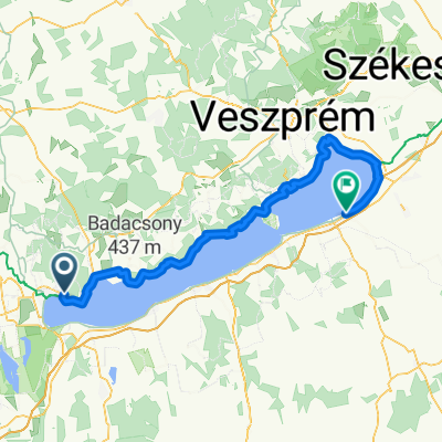
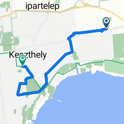
Bakonyerdő Tour
A cycling route starting in Gyenesdiás, Zala County, Hungary.
Overview
About this route
...
- -:--
- Duration
- 30.2 km
- Distance
- 313 m
- Ascent
- 314 m
- Descent
- ---
- Avg. speed
- ---
- Max. altitude
Route quality
Waytypes & surfaces along the route
Waytypes
Quiet road
19 km
(63 %)
Cycleway
6.9 km
(23 %)
Surfaces
Paved
20.2 km
(67 %)
Unpaved
7.8 km
(26 %)
Asphalt
20.2 km
(67 %)
Gravel
5.4 km
(18 %)
Route highlights
Points of interest along the route
Point of interest after 1.6 km
Radrastplatz
Point of interest after 3 km
Radrastplatz
Point of interest after 4.5 km
Radrastplatz
Point of interest after 7 km
Radrastplatz
Point of interest after 9.1 km
Radrastplatz
Point of interest after 11.3 km
Radrastplatz
Point of interest after 13.7 km
Radrastplatz
Point of interest after 16.6 km
Radrastplatz
Point of interest after 18 km
Radrastplatz
Point of interest after 19.6 km
Radrastplatz
Point of interest after 20.8 km
Radrastplatz
Point of interest after 22.2 km
Radrastplatz
Point of interest after 24.2 km
Radrastplatz
Point of interest after 26.4 km
Radrastplatz
Continue with Bikemap
Use, edit, or download this cycling route
You would like to ride Bakonyerdő Tour or customize it for your own trip? Here is what you can do with this Bikemap route:
Free features
- Save this route as favorite or in collections
- Copy & plan your own version of this route
- Sync your route with Garmin or Wahoo
Premium features
Free trial for 3 days, or one-time payment. More about Bikemap Premium.
- Navigate this route on iOS & Android
- Export a GPX / KML file of this route
- Create your custom printout (try it for free)
- Download this route for offline navigation
Discover more Premium features.
Get Bikemap PremiumFrom our community
Other popular routes starting in Gyenesdiás
 Nagymező
- Distance
- 22.9 km
- Ascent
- 485 m
- Descent
- 483 m
- Location
- Gyenesdiás, Zala County, Hungary
 Gyenes-Bgyörök
- Distance
- 16.4 km
- Ascent
- 46 m
- Descent
- 42 m
- Location
- Gyenesdiás, Zala County, Hungary
 Tour of "Bakonyerdő"
- Distance
- 30.8 km
- Ascent
- 322 m
- Descent
- 324 m
- Location
- Gyenesdiás, Zala County, Hungary
 Gyenesdiás csillagtúra
- Distance
- 221.8 km
- Ascent
- 489 m
- Descent
- 487 m
- Location
- Gyenesdiás, Zala County, Hungary
 Bakonyerdő Tour
- Distance
- 30.2 km
- Ascent
- 313 m
- Descent
- 314 m
- Location
- Gyenesdiás, Zala County, Hungary
 Kossuth Lajos utca, Gyenesdiás do Szt László utca, Siófok
- Distance
- 120 km
- Ascent
- 651 m
- Descent
- 660 m
- Location
- Gyenesdiás, Zala County, Hungary
 a tough ride near the lake of balaton
- Distance
- 24.8 km
- Ascent
- 405 m
- Descent
- 404 m
- Location
- Gyenesdiás, Zala County, Hungary
 Tapolcai út 45/A nach Fő tér
- Distance
- 4.6 km
- Ascent
- 21 m
- Descent
- 65 m
- Location
- Gyenesdiás, Zala County, Hungary
Open it in the app