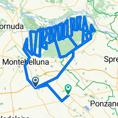

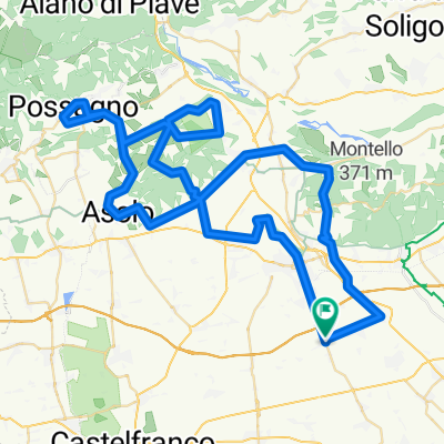
Mostaccin - Biss - Possagno - Asolo - Montello
- 83.5 km
- 908 m
- 906 m
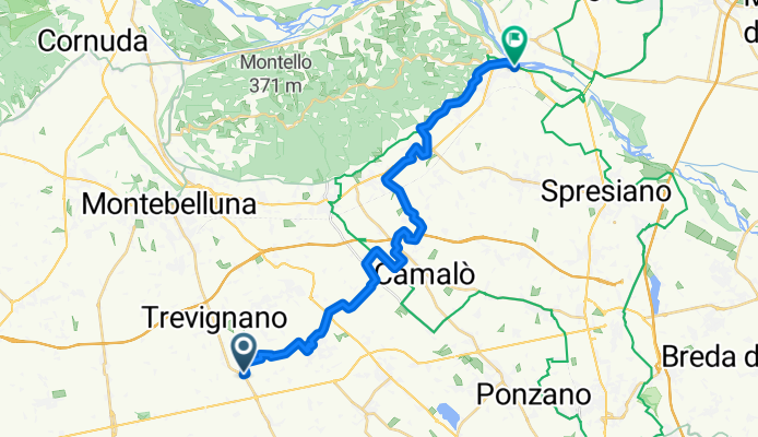
- Trevignano, Veneto, Italy
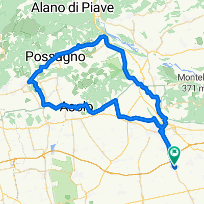
A cycling route starting in Trevignano, Veneto, Italy.
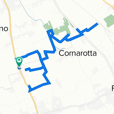
Overview
Technical features of the route
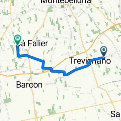
Length: 25.8 km
Difficulty: easy
Seasons: spring and summer.
created this 10 years ago
Route highlights
madonna di fatima
alla fine
PONTE
CAPITELLO DI VIA SARTORI A MUSANO
fungaia
PARCO DAOLIO
CASA
CANALE
MADONNA DELLA MERCEDE
CANALE A BELVEDERE
VILLA
PAESAGGI
CASA ABBANDONATA
CHIESA
CASE BALDO
Continue with Bikemap
You would like to ride CANALE DELLA VITTORIA DI PONENTE or customize it for your own trip? Here is what you can do with this Bikemap route:
Free trial for 3 days, or one-time payment. More about Bikemap Premium.
Discover more Premium features.
Get Bikemap PremiumFrom our community
Open it in the app