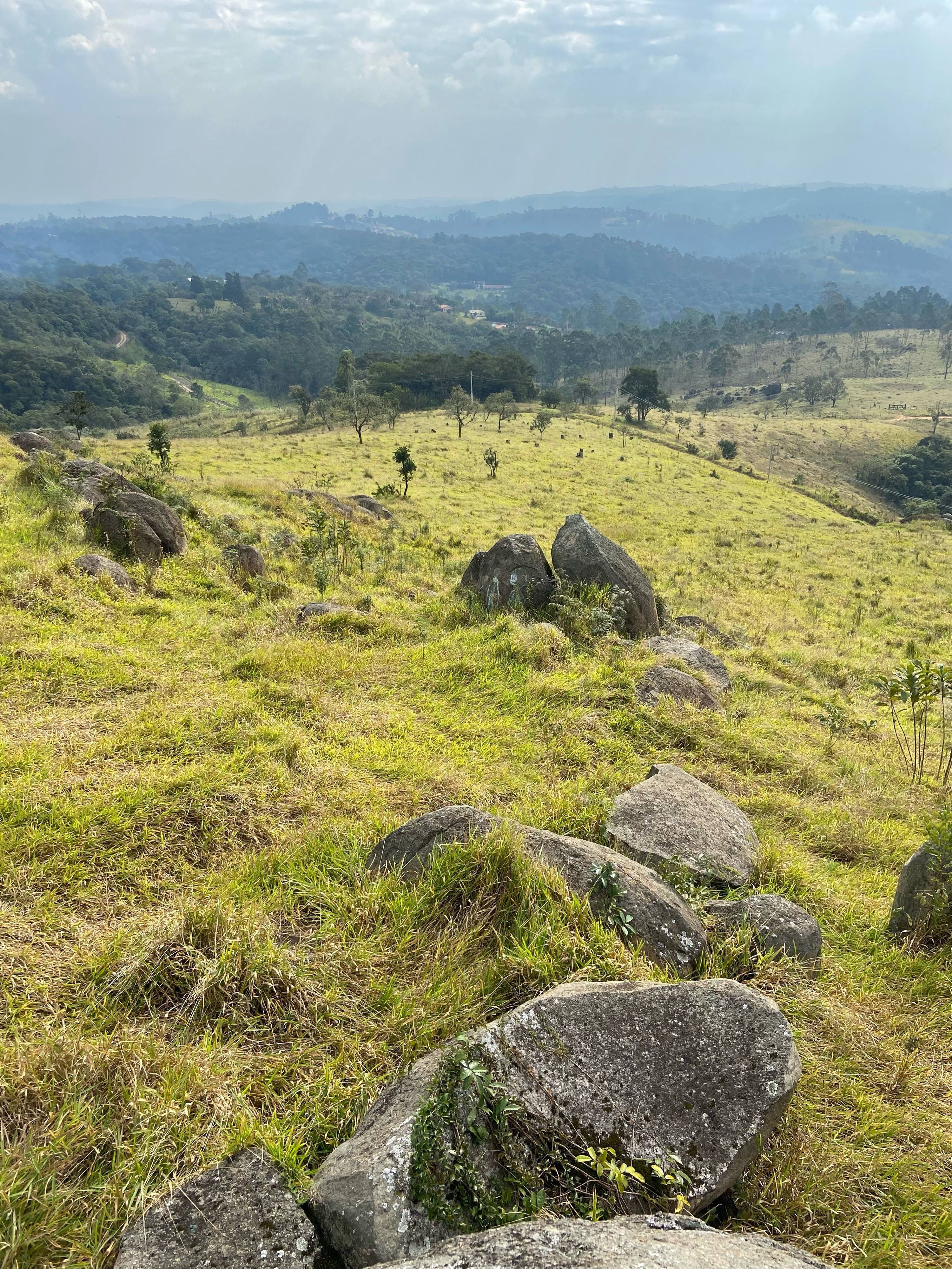
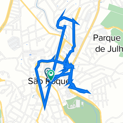
São Roque, estrada do vinho
- 21.8 km
- 364 m
- 364 m
- São Roque, São Paulo, Brazil
A cycling route starting in São Roque, São Paulo, Brazil.
Overview
São Roque - Tunnel Trail
created this 11 years ago
Route quality
Quiet road
15.9 km
49 %
Cycleway
6.5 km
20 %
Paved
21 km
(65 %)
Unpaved
6.5 km
(20 %)
Asphalt
19.1 km
59 %
Unpaved (undefined)
5.8 km
18 %
Continue with Bikemap
You would like to ride São Roque - Trilha do Tunel or customize it for your own trip? Here is what you can do with this Bikemap route:
Free trial for 3 days, or one-time payment. More about Bikemap Premium.
Discover more Premium features.
Get Bikemap PremiumFrom our community
Open it in the app