perm Hohe Rott
- 76.2 km
- 163 m
- 163 m
- Kotzen, Brandenburg, Germany
A cycling route starting in Kotzen, Brandenburg, Germany.
Overview
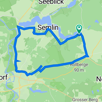
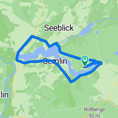
Along the old Ferchesar path to This bike tour starts in Ferchesar and first leads to Lochow. From there, along the meadow path to Schönholz and over the hills to Stölln. In Stölln, the Lilienthal Center can be visited. Nearby is the Gollenberg. There, the Lady Agnes can be visited. This is the name of the retired IL 62 aircraft of the former Interflug, which in honor of the aviation pioneer Otto Lilienthal landed in 1989 on the short 860 m glider airfield at Gollenberg. Then the tour leads to Rhinow and over Elslaake to Witzke. Then along the Rhin to Wassersuppe and Hohennauen to Rathenow. From there it goes back to Ferchesar.
created this 10 years ago
Route quality
Quiet road
16.9 km
(29 %)
Track
6.4 km
(11 %)
Paved
43.3 km
(74 %)
Unpaved
4.1 km
(7 %)
Asphalt
37.4 km
(64 %)
Concrete
5.8 km
(10 %)
Continue with Bikemap
You would like to ride Rhinower Ländchen or customize it for your own trip? Here is what you can do with this Bikemap route:
Free trial for 3 days, or one-time payment. More about Bikemap Premium.
Discover more Premium features.
Get Bikemap PremiumFrom our community
Open it in the app