

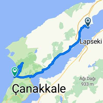
Gelibolu-Bolayır Turum
A cycling route starting in Gelibolu, Çanakkale Province, Turkey.
Overview
About this route
Hafif yağmurlu bir pazar gününde biraz macera arıyorsanız, çok güzel bir tur...
- -:--
- Duration
- 32 km
- Distance
- 266 m
- Ascent
- 265 m
- Descent
- ---
- Avg. speed
- ---
- Max. altitude

Route quality
Waytypes & surfaces along the route
Waytypes
Road
16.3 km
(51 %)
Cycleway
12.3 km
(38 %)
Surfaces
Paved
13.2 km
(41 %)
Asphalt
13.2 km
(41 %)
Undefined
18.8 km
(59 %)
Continue with Bikemap
Use, edit, or download this cycling route
You would like to ride Gelibolu-Bolayır Turum or customize it for your own trip? Here is what you can do with this Bikemap route:
Free features
- Save this route as favorite or in collections
- Copy & plan your own version of this route
- Sync your route with Garmin or Wahoo
Premium features
Free trial for 3 days, or one-time payment. More about Bikemap Premium.
- Navigate this route on iOS & Android
- Export a GPX / KML file of this route
- Create your custom printout (try it for free)
- Download this route for offline navigation
Discover more Premium features.
Get Bikemap PremiumFrom our community
Other popular routes starting in Gelibolu
 Gelibolu-Bolayır Turum
- Distance
- 32 km
- Ascent
- 266 m
- Descent
- 265 m
- Location
- Gelibolu, Çanakkale Province, Turkey
 Kazdağları Turumuz
- Distance
- 376.7 km
- Ascent
- 1,763 m
- Descent
- 1,763 m
- Location
- Gelibolu, Çanakkale Province, Turkey
 Gelibolu-1
- Distance
- 66.2 km
- Ascent
- 451 m
- Descent
- 444 m
- Location
- Gelibolu, Çanakkale Province, Turkey
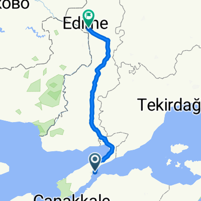 Gelibolu-Edirne
- Distance
- 190.7 km
- Ascent
- 1,137 m
- Descent
- 1,128 m
- Location
- Gelibolu, Çanakkale Province, Turkey
 Gelibolu-Çanakkale-Lapseki-Gelibolu Turum
- Distance
- 90.9 km
- Ascent
- 310 m
- Descent
- 310 m
- Location
- Gelibolu, Çanakkale Province, Turkey
 Turkey 2006
- Distance
- 4,129.1 km
- Ascent
- 8,139 m
- Descent
- 8,079 m
- Location
- Gelibolu, Çanakkale Province, Turkey
Open it in the app