

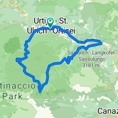
SEL2015-01
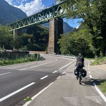
A cycling route starting in Urtijëi, Trentino-Alto Adige, Italy.
Overview
About this route
Seiseralm unwegsam - Testroute für urlaub
- -:--
- Duration
- 21.3 km
- Distance
- 854 m
- Ascent
- 846 m
- Descent
- ---
- Avg. speed
- ---
- Max. altitude
Route quality
Waytypes & surfaces along the route
Waytypes
Quiet road
10 km
(47 %)
Track
4.5 km
(21 %)
Surfaces
Paved
8.9 km
(42 %)
Unpaved
5.3 km
(25 %)
Asphalt
8.9 km
(42 %)
Gravel
3.2 km
(15 %)
Continue with Bikemap
Use, edit, or download this cycling route
You would like to ride SEL2015-01 or customize it for your own trip? Here is what you can do with this Bikemap route:
Free features
- Save this route as favorite or in collections
- Copy & plan your own version of this route
- Sync your route with Garmin or Wahoo
Premium features
Free trial for 3 days, or one-time payment. More about Bikemap Premium.
- Navigate this route on iOS & Android
- Export a GPX / KML file of this route
- Create your custom printout (try it for free)
- Download this route for offline navigation
Discover more Premium features.
Get Bikemap PremiumFrom our community
Other popular routes starting in Urtijëi
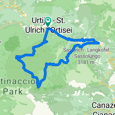
 Alpe di Siusi da Ortisei
- Distance
- 38.7 km
- Ascent
- 1,731 m
- Descent
- 1,730 m
- Location
- Urtijëi, Trentino-Alto Adige, Italy
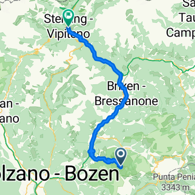 St. Ulrich in Gröden - Sterzing
- Distance
- 77.2 km
- Ascent
- 1,721 m
- Descent
- 2,771 m
- Location
- Urtijëi, Trentino-Alto Adige, Italy
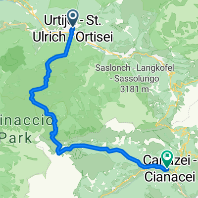 Ortisei - Canazei
- Distance
- 24.8 km
- Ascent
- 1,261 m
- Descent
- 1,108 m
- Location
- Urtijëi, Trentino-Alto Adige, Italy
 213 Tour Panorama-Gröden - Seiser Alm
- Distance
- 35.9 km
- Ascent
- 1,212 m
- Descent
- 1,213 m
- Location
- Urtijëi, Trentino-Alto Adige, Italy
 Siusi to Sterzing
- Distance
- 82.2 km
- Ascent
- 1,274 m
- Descent
- 2,317 m
- Location
- Urtijëi, Trentino-Alto Adige, Italy
 Plattkofelrunde ohne
- Distance
- 22.9 km
- Ascent
- 893 m
- Descent
- 893 m
- Location
- Urtijëi, Trentino-Alto Adige, Italy
 St. Ulrich nach Scurciastraße, St. Ulrich
- Distance
- 7.5 km
- Ascent
- 141 m
- Descent
- 1,121 m
- Location
- Urtijëi, Trentino-Alto Adige, Italy
 Ortisei-Ponte Gardena-Alpe Siusi
- Distance
- 74.1 km
- Ascent
- 1,830 m
- Descent
- 1,847 m
- Location
- Urtijëi, Trentino-Alto Adige, Italy
Open it in the app