Gut Birkenhof
- 18.7 km
- 13 m
- 13 m
- Kirchheim bei München, Bavaria, Germany
A cycling route starting in Kirchheim bei München, Bavaria, Germany.
Overview
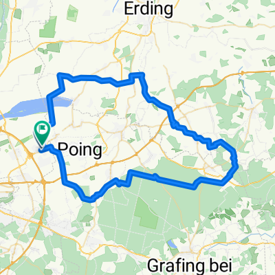
Rundroute Baldham Dorf - Grasbrunn - Harthausen - Wolfersberg - Schattenhofen - Falkenberg - Taglaching - Grafing Bahnhof - Kirchseeon - Zorneding - Pöring - Baldham - Vaterstetten - Baldham Dorf
(cloned from route 2235671)created this 10 years ago
Route quality
Quiet road
22.2 km
(35 %)
Track
19 km
(30 %)
Paved
41.9 km
(66 %)
Unpaved
20.3 km
(32 %)
Asphalt
41.2 km
(65 %)
Gravel
15.9 km
(25 %)
Route highlights
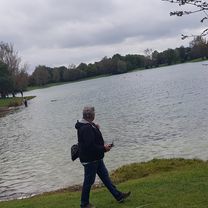
Eis
Continue with Bikemap
You would like to ride HMTB-Isar-Inn-63km or customize it for your own trip? Here is what you can do with this Bikemap route:
Free trial for 3 days, or one-time payment. More about Bikemap Premium.
Discover more Premium features.
Get Bikemap PremiumFrom our community
Open it in the app