

PROVENCE A AZUROVÉ POBŘEŽÍ NA KOLE www.nomad.cz
A cycling route starting in Avignon, Provence-Alpes-Côte d'Azur Region, France.
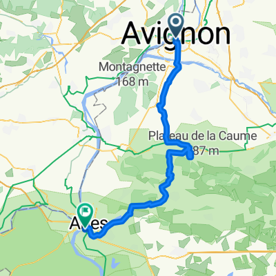
Overview
About this route
Cyklistika pro každého nádherným krajem francouzské Provence. Přírodními rezervacemi Canyon du Verdon a Massif des Maures, kolem jezer, jeskyní a středověkými vesničkami s kláštery, rájem levandulí až k pobřeží Středozemního moře za pohodou a dokonalým koupáním.
- -:--
- Duration
- 980.7 km
- Distance
- 3,779 m
- Ascent
- 3,807 m
- Descent
- ---
- Avg. speed
- ---
- Max. altitude

Route quality
Waytypes & surfaces along the route
Waytypes
Road
352.5 km
(36 %)
Quiet road
252.1 km
(26 %)
Surfaces
Paved
622.9 km
(64 %)
Unpaved
25.9 km
(3 %)
Asphalt
617.8 km
(63 %)
Gravel
10.1 km
(1 %)
Route highlights
Points of interest along the route
Point of interest after 34.4 km
Fontaine de Vaucluse
Point of interest after 47 km
Gordes
Point of interest after 58.1 km
Roussillon
Point of interest after 165.9 km
Moustiers-Sainte-Marie
Point of interest after 407.9 km
Sillans
Point of interest after 697.4 km
Cotignac
Point of interest after 707.5 km
Entrecasteaux
Point of interest after 719 km
Le Thoronet
Point of interest after 781 km
Hyères
Point of interest after 790.4 km
poloostrov Giens
Point of interest after 814.8 km
Toulon
Point of interest after 888.9 km
Port Grimaud
Point of interest after 896.1 km
Gassin
Point of interest after 901.3 km
Ramatuelle-hrob Gérarda Philipa
Point of interest after 910.2 km
Saint-Tropez
Point of interest after 944.3 km
Fréjus
Continue with Bikemap
Use, edit, or download this cycling route
You would like to ride PROVENCE A AZUROVÉ POBŘEŽÍ NA KOLE www.nomad.cz or customize it for your own trip? Here is what you can do with this Bikemap route:
Free features
- Save this route as favorite or in collections
- Copy & plan your own version of this route
- Split it into stages to create a multi-day tour
- Sync your route with Garmin or Wahoo
Premium features
Free trial for 3 days, or one-time payment. More about Bikemap Premium.
- Navigate this route on iOS & Android
- Export a GPX / KML file of this route
- Create your custom printout (try it for free)
- Download this route for offline navigation
Discover more Premium features.
Get Bikemap PremiumFrom our community
Other popular routes starting in Avignon
 PROVENCE A AZUROVÉ POBŘEŽÍ NA KOLE www.nomad.cz
- Distance
- 980.7 km
- Ascent
- 3,779 m
- Descent
- 3,807 m
- Location
- Avignon, Provence-Alpes-Côte d'Azur Region, France
 2003 Luberon - Camarque
- Distance
- 445.3 km
- Ascent
- 1,580 m
- Descent
- 1,557 m
- Location
- Avignon, Provence-Alpes-Côte d'Azur Region, France
 Avignon - Pont-du-Gard - Beaucaire - Tarascon
- Distance
- 57.8 km
- Ascent
- 171 m
- Descent
- 186 m
- Location
- Avignon, Provence-Alpes-Côte d'Azur Region, France
 VR19 Avignon-Arles.kml - VR19 Avignon-Arles.kml_VR19 Avignon-Arles
- Distance
- 59.1 km
- Ascent
- 264 m
- Descent
- 280 m
- Location
- Avignon, Provence-Alpes-Côte d'Azur Region, France
 Avignon Arles
- Distance
- 58.9 km
- Ascent
- 325 m
- Descent
- 348 m
- Location
- Avignon, Provence-Alpes-Côte d'Azur Region, France
 les baux
- Distance
- 52.1 km
- Ascent
- 492 m
- Descent
- 490 m
- Location
- Avignon, Provence-Alpes-Côte d'Azur Region, France
 11b_Avignon to Port-Saint-Louis-du-Rhône
- Distance
- 109.7 km
- Ascent
- 222 m
- Descent
- 238 m
- Location
- Avignon, Provence-Alpes-Côte d'Azur Region, France
 Avignon nach Lyon
- Distance
- 286.1 km
- Ascent
- 1,183 m
- Descent
- 1,028 m
- Location
- Avignon, Provence-Alpes-Côte d'Azur Region, France
Open it in the app