

Girolibero: Colmar e l'Alsazia
A cycling route starting in Colmar, Grand Est, France.
Overview
About this route
Overnight stays: Colmar
Points of interest: Munster, Andlau, Breisach, Mulhouse, Altkirch, Kayserberg, Riquewihr, Ribeauvillé
Transfers: Colmar - Sélestat, Sélestat - Colmar, Colmar - Mulhouse, Mulhouse - Colmar
Rivers: Rhine
Border: Germany/France
- -:--
- Duration
- 363.1 km
- Distance
- 715 m
- Ascent
- 717 m
- Descent
- ---
- Avg. speed
- ---
- Max. altitude

Route quality
Waytypes & surfaces along the route
Waytypes
Quiet road
101.7 km
(28 %)
Road
94.4 km
(26 %)
Surfaces
Paved
236 km
(65 %)
Unpaved
21.8 km
(6 %)
Asphalt
192.4 km
(53 %)
Paved (undefined)
43.6 km
(12 %)
Route highlights
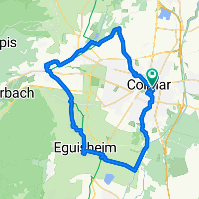
Points of interest along the route
Point of interest after 23.7 km
Munster
Point of interest after 77.4 km
Sélestat
Point of interest after 94.1 km
Andlau
Accommodation after 134.4 km
Colmar
Point of interest after 160.3 km
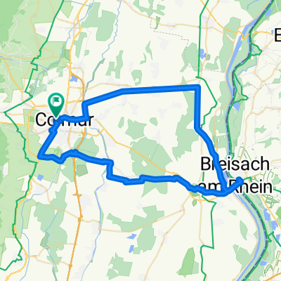
Confine Germania/Francia
Point of interest after 160.4 km
Reno
Point of interest after 160.4 km
Breisach
Point of interest after 239.8 km
Altkirch
Point of interest after 289.2 km
Mulhouse
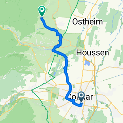
Point of interest after 345.3 km
Riquewihr
Point of interest after 350.8 km
Kayserberg
Continue with Bikemap
Use, edit, or download this cycling route
You would like to ride Girolibero: Colmar e l'Alsazia or customize it for your own trip? Here is what you can do with this Bikemap route:
Free features
- Save this route as favorite or in collections
- Copy & plan your own version of this route
- Split it into stages to create a multi-day tour
- Sync your route with Garmin or Wahoo
Premium features
Free trial for 3 days, or one-time payment. More about Bikemap Premium.
- Navigate this route on iOS & Android
- Export a GPX / KML file of this route
- Create your custom printout (try it for free)
- Download this route for offline navigation
Discover more Premium features.
Get Bikemap PremiumFrom our community
Other popular routes starting in Colmar
 Classique des Vogés
- Distance
- 209.1 km
- Ascent
- 4,428 m
- Descent
- 3,601 m
- Location
- Colmar, Grand Est, France
 Rue du Chasseur to Place Jeanne d'Arc
- Distance
- 28.7 km
- Ascent
- 107 m
- Descent
- 108 m
- Location
- Colmar, Grand Est, France
 Golmar
- Distance
- 48.2 km
- Ascent
- 684 m
- Descent
- 685 m
- Location
- Colmar, Grand Est, France
 Rue Saint-Léon, Colmar à Rue Saint-Léon, Colmar
- Distance
- 59.8 km
- Ascent
- 132 m
- Descent
- 134 m
- Location
- Colmar, Grand Est, France
 4. Sélestat - Strasbourg
- Distance
- 16.8 km
- Ascent
- 169 m
- Descent
- 55 m
- Location
- Colmar, Grand Est, France
 Colmar<>Freiburg
- Distance
- 45.7 km
- Ascent
- 140 m
- Descent
- 49 m
- Location
- Colmar, Grand Est, France
 Etappe 14 Tour de France 2009 von Colmar nach Besançon
- Distance
- 202.5 km
- Ascent
- 1,131 m
- Descent
- 1,003 m
- Location
- Colmar, Grand Est, France
 Girolibero: Colmar e l'Alsazia
- Distance
- 363.1 km
- Ascent
- 715 m
- Descent
- 717 m
- Location
- Colmar, Grand Est, France
Open it in the app