
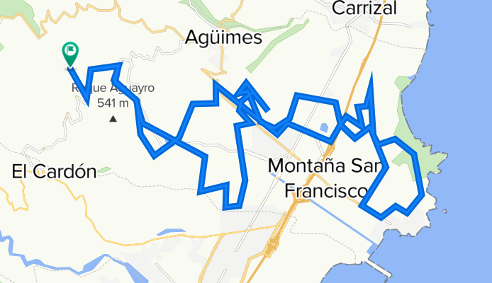
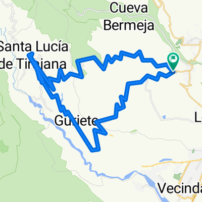
CIRCULAR TEMISAS ENDURANCE
A cycling route starting in Agüimes, Canary Islands, Spain.
Overview
About this route
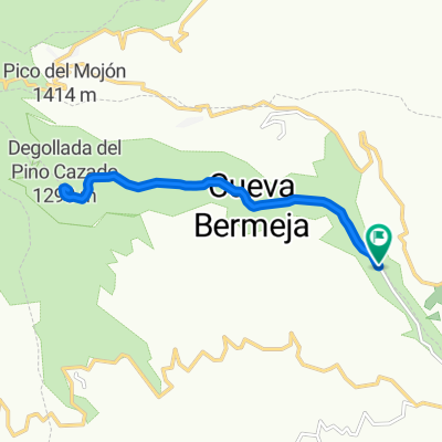
Circular desde el camping de Temisas
- -:--
- Duration
- 49.8 km
- Distance
- 694 m
- Ascent
- 695 m
- Descent
- ---
- Avg. speed
- ---
- Max. altitude

Continue with Bikemap
Use, edit, or download this cycling route
You would like to ride CIRCULAR TEMISAS ENDURANCE or customize it for your own trip? Here is what you can do with this Bikemap route:
Free features
- Save this route as favorite or in collections
- Copy & plan your own version of this route
- Sync your route with Garmin or Wahoo
Premium features
Free trial for 3 days, or one-time payment. More about Bikemap Premium.
- Navigate this route on iOS & Android
- Export a GPX / KML file of this route
- Create your custom printout (try it for free)
- Download this route for offline navigation
Discover more Premium features.
Get Bikemap PremiumFrom our community
Other popular routes starting in Agüimes
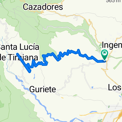
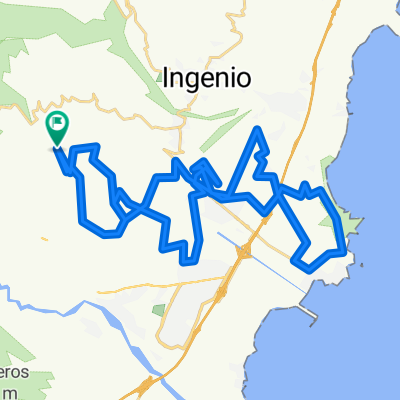 CIRCULAR TEMISAS 50
- Distance
- 51.6 km
- Ascent
- 733 m
- Descent
- 734 m
- Location
- Agüimes, Canary Islands, Spain
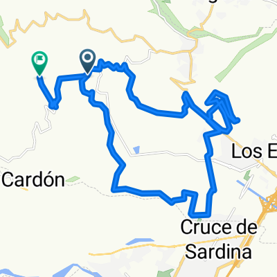 TEMISAS TRAIL CORRALILLOS ARINAGA
- Distance
- 25.3 km
- Ascent
- 571 m
- Descent
- 420 m
- Location
- Agüimes, Canary Islands, Spain
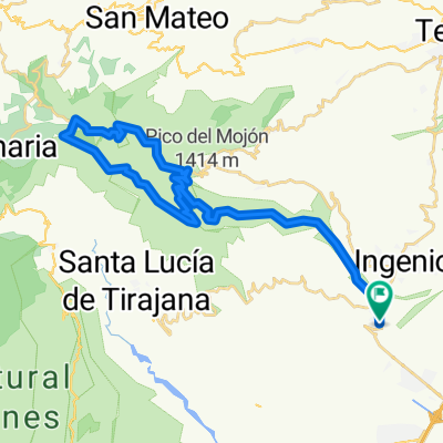
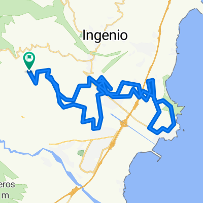 TEMISAS EXTREM
- Distance
- 50.1 km
- Ascent
- 651 m
- Descent
- 649 m
- Location
- Agüimes, Canary Islands, Spain
 Barranco de Guayadeque
- Distance
- 12.8 km
- Ascent
- 612 m
- Descent
- 612 m
- Location
- Agüimes, Canary Islands, Spain
 Aguimes - Santa Lucia
- Distance
- 36.6 km
- Ascent
- 814 m
- Descent
- 814 m
- Location
- Agüimes, Canary Islands, Spain
 Pico de las Nieves
- Distance
- 44.5 km
- Ascent
- 1,656 m
- Descent
- 1,657 m
- Location
- Agüimes, Canary Islands, Spain
 Guayadeque
- Distance
- 42.5 km
- Ascent
- 1,483 m
- Descent
- 1,483 m
- Location
- Agüimes, Canary Islands, Spain
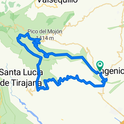
 Agüimes-Santa Lucia- Runde
- Distance
- 43.3 km
- Ascent
- 844 m
- Descent
- 844 m
- Location
- Agüimes, Canary Islands, Spain
Open it in the app