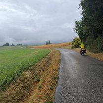
Jongieux 脿 St-Gerges (38)

A cycling route starting in Yenne, Auvergne-Rh么ne-Alpes, France.
OverviewAbout this route

Connecting route from Jongieux (73) to St-Gerges (38)

Translated, show original (French)
-:--
Duration
50.6 km
Distance
1,096 m
Ascent
516 m
Descent
---
Avg. speed
---
Max. altitude
prosperjuniorcreated this 11 years ago
Route qualityWaytypes & surfaces along the route
Waytypes
  • Road

    21.8 km43 %
  • Cycleway

    9.6 km19 %
  • Quiet road

    6.1 km12 %
Surfaces

Paved

32.9 km(65 %)

Unpaved

0.5 km(1 %)
  • Asphalt

    32.9 km65 %
  • Unpaved (undefined)

    0.5 km1 %
  • Undefined

    17.2 km34 %
Continue with BikemapUse, edit, or download this cycling route
You would like to ride Jongieux 脿 St-Gerges (38) or customize it for your own trip? Here is what you can do with this Bikemap route:
Free features
Premium features

Free trial for 3 days, or one-time payment. More about Bikemap Premium.

  • Navigate this route on iOS & Android
  • Export a GPX / KML file of this route
  • Create your custom printout (try it for free)
  • Download this route for offline navigation

Discover more Premium features.

Get Bikemap Premium
From our communityOther popular routes starting in Yenne

Open it in the app