Somogy
- 71.8 km
- 352 m
- 344 m
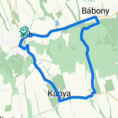
- Tab, Somogy County, Hungary
A cycling route starting in Tab, Somogy County, Hungary.
Overview
Balaton Mecsek
created this 10 years ago
Route quality
Quiet road
144.3 km
(13 %)
Cycleway
77.7 km
(7 %)
Paved
577.1 km
(52 %)
Unpaved
11.1 km
(1 %)
Asphalt
566 km
(51 %)
Paved (undefined)
11.1 km
(1 %)
Continue with Bikemap
You would like to ride Balatonkerülés, kicsit másképp! 04. 24.-05. 03. or customize it for your own trip? Here is what you can do with this Bikemap route:
Free trial for 3 days, or one-time payment. More about Bikemap Premium.
Discover more Premium features.
Get Bikemap PremiumFrom our community
Open it in the app