Jefferson, boucle supplémentaire
- 11.1 km
- 181 m
- 182 m
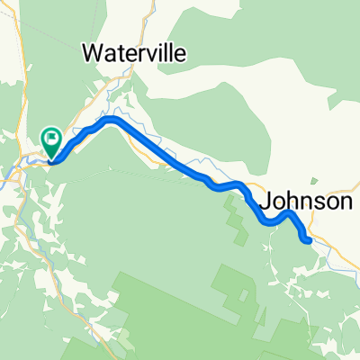
- Johnson, Vermont, United States
A cycling route starting in Johnson, Vermont, United States.
Overview
created this 16 years ago
Route quality
Road
20.9 km
(30 %)
Quiet road
4.2 km
(6 %)
Paved
65.4 km
(94 %)
Unpaved
3.5 km
(5 %)
Asphalt
65.4 km
(94 %)
Gravel
2.8 km
(4 %)
Continue with Bikemap
You would like to ride Col du Mont Mansfield, Vermont USA or customize it for your own trip? Here is what you can do with this Bikemap route:
Free trial for 3 days, or one-time payment. More about Bikemap Premium.
Discover more Premium features.
Get Bikemap PremiumFrom our community
Open it in the app