Jefferson - Stowe aller retour
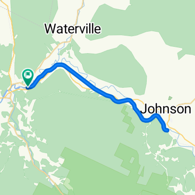
A cycling route starting in Johnson, Vermont, United States of America.
Overview
About this route
- -:--
- Duration
- 70.9 km
- Distance
- 1,554 m
- Ascent
- 1,523 m
- Descent
- ---
- Avg. speed
- 691 m
- Max. altitude
Route quality
Waytypes & surfaces along the route
Waytypes
Busy road
52.3 km
(74 %)
Quiet road
13.6 km
(19 %)
Surfaces
Paved
61.2 km
(86 %)
Unpaved
6.6 km
(9 %)
Asphalt
60.8 km
(86 %)
Unpaved (undefined)
3.7 km
(5 %)
Continue with Bikemap
Use, edit, or download this cycling route
You would like to ride Jefferson - Stowe aller retour or customize it for your own trip? Here is what you can do with this Bikemap route:
Free features
- Save this route as favorite or in collections
- Copy & plan your own version of this route
- Sync your route with Garmin or Wahoo
Premium features
Free trial for 3 days, or one-time payment. More about Bikemap Premium.
- Navigate this route on iOS & Android
- Export a GPX / KML file of this route
- Create your custom printout (try it for free)
- Download this route for offline navigation
Discover more Premium features.
Get Bikemap PremiumFrom our community
Other popular routes starting in Johnson
- Della Corte Road 129, Eden to Della Corte Road 129, Eden
- Distance
- 3.6 km
- Ascent
- 84 m
- Descent
- 57 m
- Location
- Johnson, Vermont, United States of America
- Col du Mont Mansfield, Vermont USA
- Distance
- 69.5 km
- Ascent
- 1,086 m
- Descent
- 1,083 m
- Location
- Johnson, Vermont, United States of America
- Jay Peak ride
- Distance
- 79.1 km
- Ascent
- 916 m
- Descent
- 924 m
- Location
- Johnson, Vermont, United States of America
- 31 Cambridge Junction Road Ext, Jeffersonville to 31 Cambridge Junction Road Ext, Jeffersonville
- Distance
- 49.8 km
- Ascent
- 286 m
- Descent
- 291 m
- Location
- Johnson, Vermont, United States of America
- Cambridge Junction Road to Cambridge Junction Road
- Distance
- 28.4 km
- Ascent
- 134 m
- Descent
- 103 m
- Location
- Johnson, Vermont, United States of America
- Jefferson - Stowe aller retour
- Distance
- 70.9 km
- Ascent
- 1,554 m
- Descent
- 1,523 m
- Location
- Johnson, Vermont, United States of America
- Della Corte Road 129, Eden to Della Corte Road 129, Eden
- Distance
- 2.4 km
- Ascent
- 77 m
- Descent
- 46 m
- Location
- Johnson, Vermont, United States of America
- Smugglers Notch -Stowe retour par Stagecoach rd.
- Distance
- 69.2 km
- Ascent
- 675 m
- Descent
- 675 m
- Location
- Johnson, Vermont, United States of America
Open it in the app