
Zeppelin_TREKKING_ParchiD'Abruzzo2_2015
A cycling route starting in Calascio, Abruzzo, Italy.
Overview
About this route
Pernottamento: Calascio,
Punti di interesse: Monte Aquila, Piana del Voltigno, Abbazia di San Clemente a Casauria, Monte Blockhaus, Valle dell’Orfento<div class="page" title="Page 2"> <div class="layoutArea"> <div class="column">
</div> </div></div>
- -:--
- Duration
- 207 km
- Distance
- 4,227 m
- Ascent
- 4,606 m
- Descent
- ---
- Avg. speed
- ---
- Max. altitude

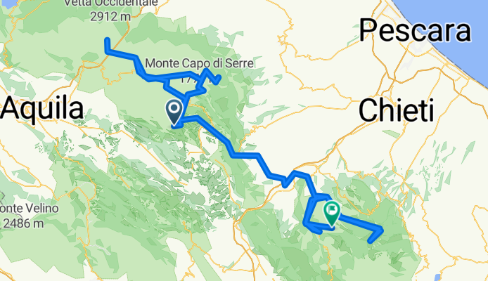
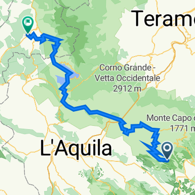
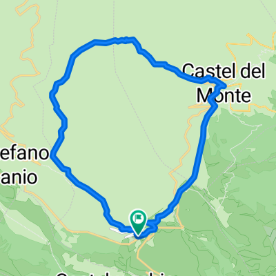
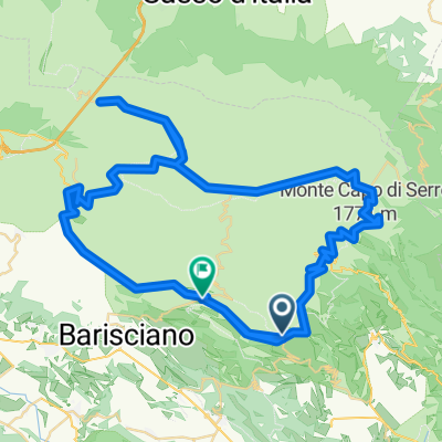
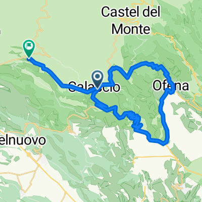
Route highlights
Points of interest along the route
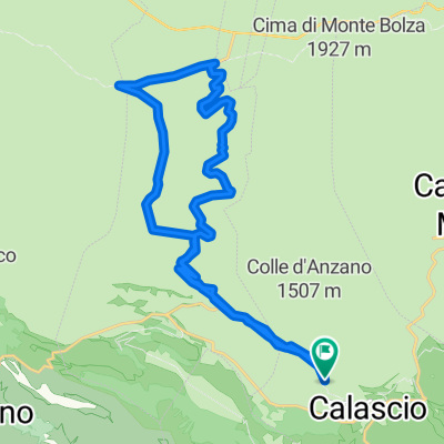
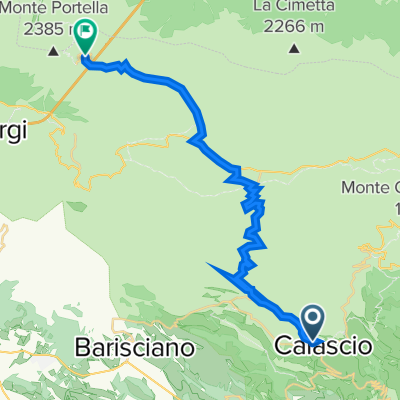
Accommodation after 0.4 km
Calascio
Point of interest after 33.7 km
Monte Aquila
Point of interest after 65.8 km
Piana del Voltigno
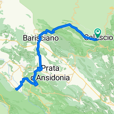
Point of interest after 119.5 km
Abbazia di San Clemente a Casauria
Accommodation after 139.3 km
Caramanico Terme
Point of interest after 171.6 km
Monte Blockhaus
Continue with Bikemap
Use, edit, or download this cycling route
You would like to ride Zeppelin_TREKKING_ParchiD'Abruzzo2_2015 or customize it for your own trip? Here is what you can do with this Bikemap route:
Free features
- Save this route as favorite or in collections
- Copy & plan your own version of this route
- Split it into stages to create a multi-day tour
- Sync your route with Garmin or Wahoo
Premium features
Free trial for 3 days, or one-time payment. More about Bikemap Premium.
- Navigate this route on iOS & Android
- Export a GPX / KML file of this route
- Create your custom printout (try it for free)
- Download this route for offline navigation
Discover more Premium features.
Get Bikemap PremiumFrom our community
Other popular routes starting in Calascio
 R9 Calascio - Amatrice
- Distance
- 103.5 km
- Ascent
- 2,108 m
- Descent
- 2,309 m
- Location
- Calascio, Abruzzo, Italy
 Abruzzo Gran Sasso
- Distance
- 19.5 km
- Ascent
- 746 m
- Descent
- 759 m
- Location
- Calascio, Abruzzo, Italy
 circuito ruderi abbazia benedettina
- Distance
- 25.2 km
- Ascent
- 567 m
- Descent
- 566 m
- Location
- Calascio, Abruzzo, Italy
 Campo Imperatore - die Königstour
- Distance
- 91.4 km
- Ascent
- 1,260 m
- Descent
- 1,283 m
- Location
- Calascio, Abruzzo, Italy
 Da Via di Pizzo Falcone 211, Calascio a Via della Chiesa 39, Rocca Pia
- Distance
- 69.6 km
- Ascent
- 834 m
- Descent
- 1,177 m
- Location
- Calascio, Abruzzo, Italy
 Ofena
Ofena- Distance
- 32.6 km
- Ascent
- 953 m
- Descent
- 916 m
- Location
- Calascio, Abruzzo, Italy
 campo imperatore
- Distance
- 26.4 km
- Ascent
- 903 m
- Descent
- 255 m
- Location
- Calascio, Abruzzo, Italy
 Calascio-Santo Stefano di Sessanio-Grotte di Stiffe
- Distance
- 53.2 km
- Ascent
- 1,029 m
- Descent
- 1,029 m
- Location
- Calascio, Abruzzo, Italy
Open it in the app