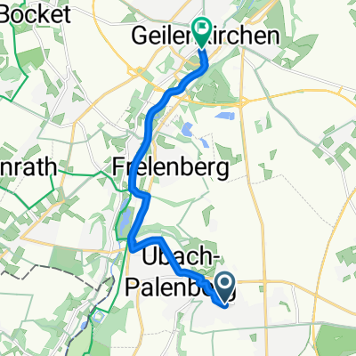
Route nach Apweilerstraße, Geilenkirchen
- 9 km
- 51 m
- 60 m
- Übach-Palenberg, North Rhine-Westphalia, Germany
A cycling route starting in Übach-Palenberg, North Rhine-Westphalia, Germany.
Overview
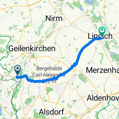
langs de worm en door heuvellandschappen terug langs de nato basis. 40 km
Route quality
Track
22.5 km
(54 %)
Quiet road
11.3 km
(27 %)
Paved
24.2 km
(58 %)
Unpaved
4.2 km
(10 %)
Asphalt
18.4 km
(44 %)
Paved (undefined)
5.8 km
(14 %)
Continue with Bikemap
You would like to ride worm-heuvel route or customize it for your own trip? Here is what you can do with this Bikemap route:
Free trial for 3 days, or one-time payment. More about Bikemap Premium.
Discover more Premium features.
Get Bikemap PremiumFrom our community
Open it in the app