

Királyerdő(Padure Craiului) by PADCLIMBER From Biharkeresztes to Kötegyán
- 387 km
- 8,129 m
- 8,139 m
- Biharkeresztes, Hajdú-Bihar, Hungary
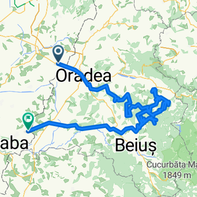
Biharkeresztes - Borszeg - Biharkeresztes
Road
28.8 km30 %Cycleway
13.5 km14 %Paved
78.8 km(82 %)Unpaved
7.7 km(8 %)Asphalt
75.9 km79 %Gravel
5.8 km6 %Free trial for 3 days, or one-time payment. More about Bikemap Premium.
Discover more Premium features.
Get Bikemap PremiumOpen it in the app


