

Rondje Grand Ballon
A cycling route starting in Saint-Amarin, Grand Est, France.
Overview
About this route
Col de Bramont Le Markstein - Grand Ballon down to Moosch up Grand Ballon from Willer-sur-Thur Le Markstein - down to Kruth
- -:--
- Duration
- 104.2 km
- Distance
- 1,930 m
- Ascent
- 1,929 m
- Descent
- ---
- Avg. speed
- ---
- Max. altitude
Route quality
Waytypes & surfaces along the route
Waytypes
Road
29.2 km
(28 %)
Quiet road
6.3 km
(6 %)
Surfaces
Paved
51.1 km
(49 %)
Unpaved
3.1 km
(3 %)
Asphalt
51.1 km
(49 %)
Unpaved (undefined)
1 km
(1 %)
Continue with Bikemap
Use, edit, or download this cycling route
You would like to ride Rondje Grand Ballon or customize it for your own trip? Here is what you can do with this Bikemap route:
Free features
- Save this route as favorite or in collections
- Copy & plan your own version of this route
- Split it into stages to create a multi-day tour
- Sync your route with Garmin or Wahoo
Premium features
Free trial for 3 days, or one-time payment. More about Bikemap Premium.
- Navigate this route on iOS & Android
- Export a GPX / KML file of this route
- Create your custom printout (try it for free)
- Download this route for offline navigation
Discover more Premium features.
Get Bikemap PremiumFrom our community
Other popular routes starting in Saint-Amarin
 Vosges 18/07/2009
- Distance
- 163.5 km
- Ascent
- 4,111 m
- Descent
- 3,770 m
- Location
- Saint-Amarin, Grand Est, France
 Grand ballon 2
- Distance
- 57.9 km
- Ascent
- 992 m
- Descent
- 998 m
- Location
- Saint-Amarin, Grand Est, France
 Saint Amarin Grand Ballon
- Distance
- 13 km
- Ascent
- 925 m
- Descent
- 349 m
- Location
- Saint-Amarin, Grand Est, France
 Moezel volledig Fietsroute.
- Distance
- 603.4 km
- Ascent
- 214 m
- Descent
- 586 m
- Location
- Saint-Amarin, Grand Est, France
 Rondje Grand Ballon
- Distance
- 104.2 km
- Ascent
- 1,930 m
- Descent
- 1,929 m
- Location
- Saint-Amarin, Grand Est, France
 Colmar - Le Grand Ballon
- Distance
- 207.5 km
- Ascent
- 3,826 m
- Descent
- 4,895 m
- Location
- Saint-Amarin, Grand Est, France
 storkenkopf - la bresse
- Distance
- 41.6 km
- Ascent
- 930 m
- Descent
- 1,282 m
- Location
- Saint-Amarin, Grand Est, France
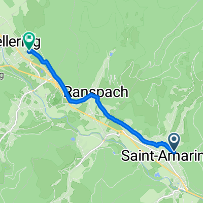 From Saint-Amarin to Fellering
- Distance
- 5.1 km
- Ascent
- 33 m
- Descent
- 19 m
- Location
- Saint-Amarin, Grand Est, France
Open it in the app