
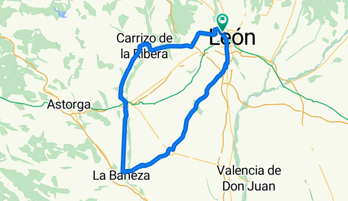
León, Carrizo, Hospital de Órbigo, La Bañeza, Sta. María del Páramo, Ardoncino, León.
A cycling route starting in San Andrés del Rabanedo, Castille and León, Spain.
Overview
About this route
Poco tráfic y bue asfalto en gnal, reorrido muy expuesto al viento.
- -:--
- Duration
- 111 km
- Distance
- 280 m
- Ascent
- 279 m
- Descent
- ---
- Avg. speed
- ---
- Avg. speed

Route quality
Waytypes & surfaces along the route
Waytypes
Busy road
58.2 km
(52 %)
Quiet road
23.5 km
(21 %)
Surfaces
Paved
61.4 km
(55 %)
Unpaved
0.1 km
(<1 %)
Asphalt
61.3 km
(55 %)
Gravel
0.1 km
(<1 %)
Continue with Bikemap
Use, edit, or download this cycling route
You would like to ride León, Carrizo, Hospital de Órbigo, La Bañeza, Sta. María del Páramo, Ardoncino, León. or customize it for your own trip? Here is what you can do with this Bikemap route:
Free features
- Save this route as favorite or in collections
- Copy & plan your own version of this route
- Split it into stages to create a multi-day tour
- Sync your route with Garmin or Wahoo
Premium features
Free trial for 3 days, or one-time payment. More about Bikemap Premium.
- Navigate this route on iOS & Android
- Export a GPX / KML file of this route
- Create your custom printout (try it for free)
- Download this route for offline navigation
Discover more Premium features.
Get Bikemap PremiumFrom our community
Other popular routes starting in San Andrés del Rabanedo
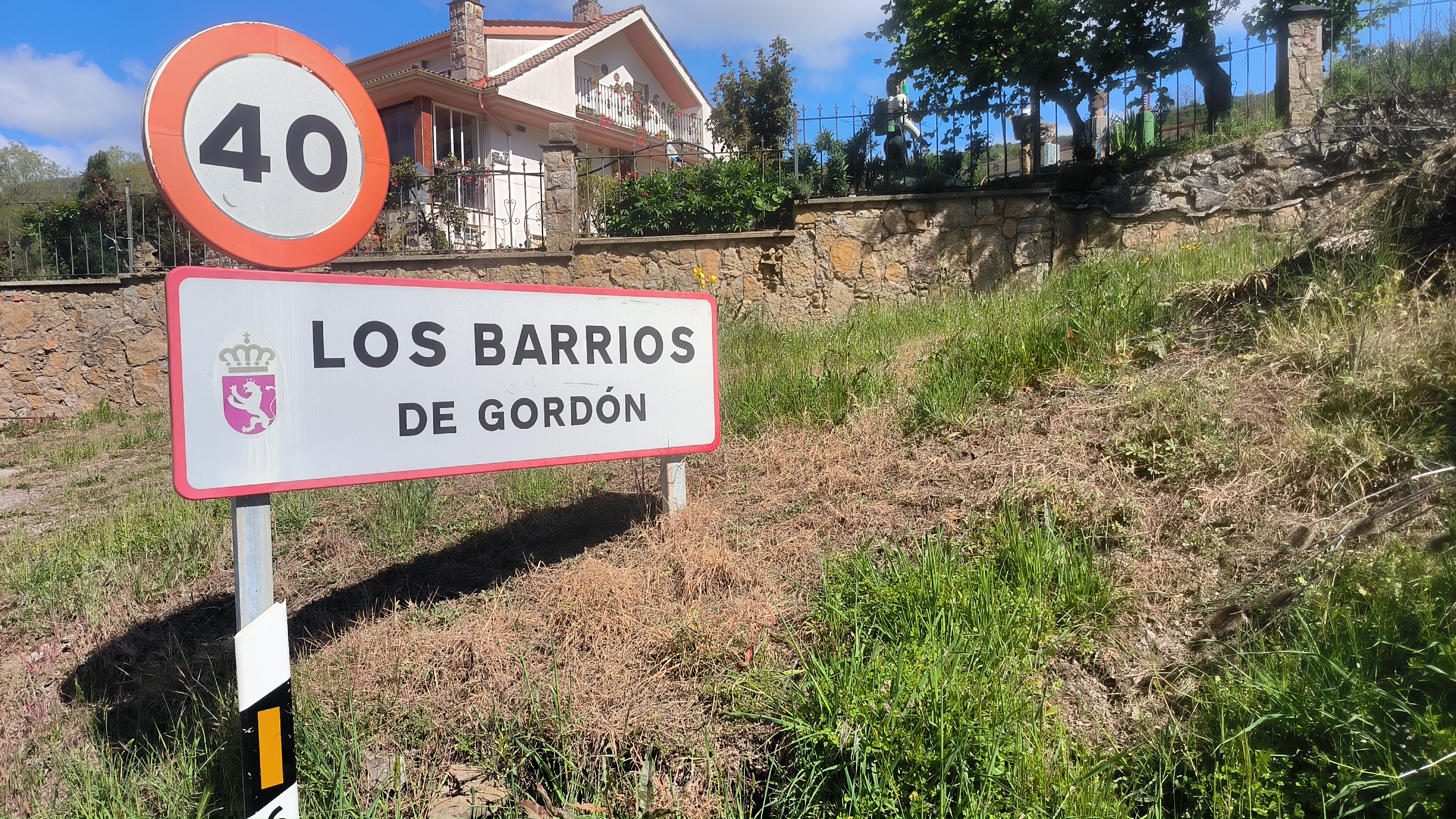 78 km. ruta de Los Barrios de Gordon.
- Distance
- 77.8 km
- Ascent
- 609 m
- Descent
- 674 m
- Location
- San Andrés del Rabanedo, Castille and León, Spain
 85 km. ruta de la Vecilla
- Distance
- 85.4 km
- Ascent
- 718 m
- Descent
- 772 m
- Location
- San Andrés del Rabanedo, Castille and León, Spain
 62 km León, Vilecha, Vega de Infanzones, Palanquinos, Mansilla, Pte . Villarente, Marne, Villarroañe, Sta. Olaja, León.
- Distance
- 62.1 km
- Ascent
- 11 m
- Descent
- 3 m
- Location
- San Andrés del Rabanedo, Castille and León, Spain
 101 km. León, Lorenzana, La Robla, Matallana, Carmenes, Canseco, Matallana, Garrafe, León.
- Distance
- 101.3 km
- Ascent
- 889 m
- Descent
- 922 m
- Location
- San Andrés del Rabanedo, Castille and León, Spain
 75 km. ruta de Orzonaga
- Distance
- 75.5 km
- Ascent
- 556 m
- Descent
- 603 m
- Location
- San Andrés del Rabanedo, Castille and León, Spain
 93 km. León, Mansilla, Valevimbre, Fontecha, S. Miguel, Ferral, León.
- Distance
- 93 km
- Ascent
- 619 m
- Descent
- 664 m
- Location
- San Andrés del Rabanedo, Castille and León, Spain
 72 km. ruta de Villagallegos.
- Distance
- 72.1 km
- Ascent
- 528 m
- Descent
- 579 m
- Location
- San Andrés del Rabanedo, Castille and León, Spain
 65 km. ruta del 18
- Distance
- 64.9 km
- Ascent
- 679 m
- Descent
- 726 m
- Location
- San Andrés del Rabanedo, Castille and León, Spain
Open it in the app