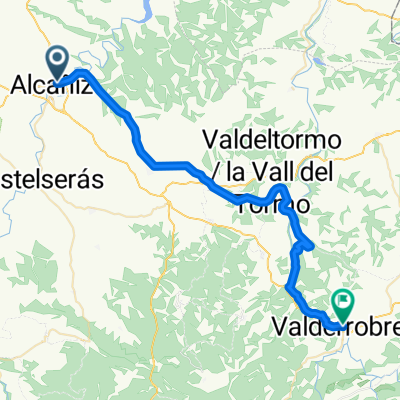
200212: Alcaniz - Teruel
- 152.7 km
- 1,833 m
- 1,264 m
- Alcañiz, Aragon, Spain
A cycling route starting in Alcañiz, Aragon, Spain.
Overview
Gibraltar 2002: stage 12
created this 10 years ago
Route quality
Road
29 km
(19 %)
Cycleway
29 km
(19 %)
Paved
41.2 km
(27 %)
Unpaved
7.6 km
(5 %)
Asphalt
36.6 km
(24 %)
Ground
4.6 km
(3 %)
Continue with Bikemap
You would like to ride 200212: Alcaniz - Teruel or customize it for your own trip? Here is what you can do with this Bikemap route:
Free trial for 3 days, or one-time payment. More about Bikemap Premium.
Discover more Premium features.
Get Bikemap PremiumFrom our community
Open it in the app